AMIR'S GARDEN HIKE
|
TRAIL HIGHLIGHTS |
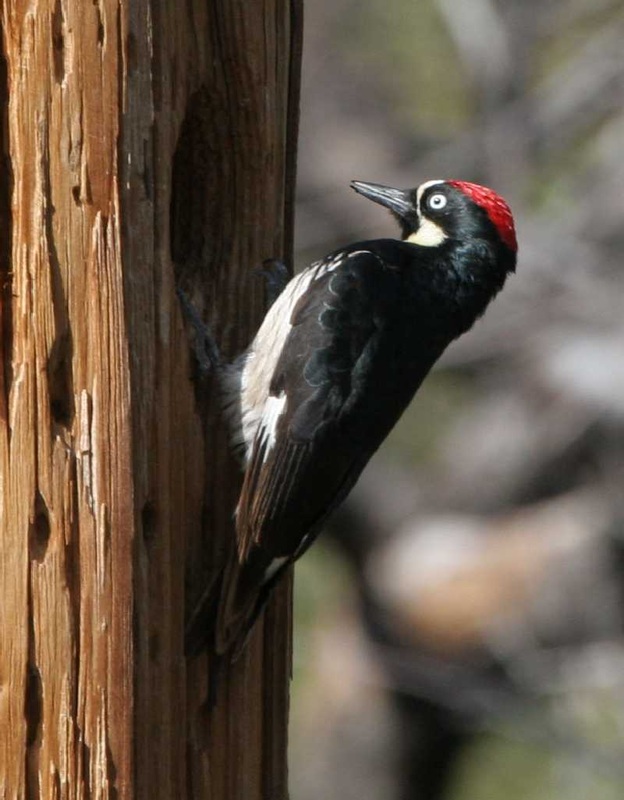
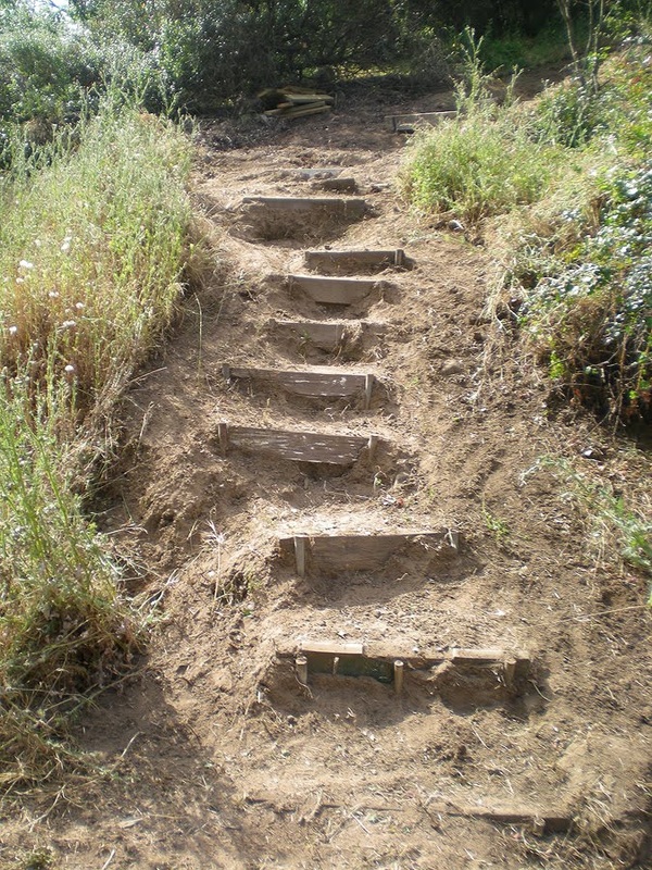
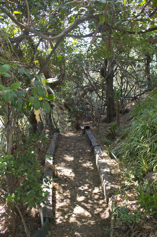
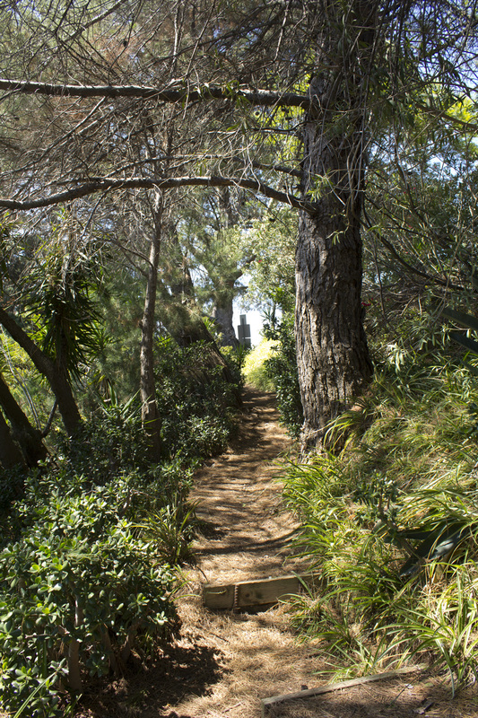
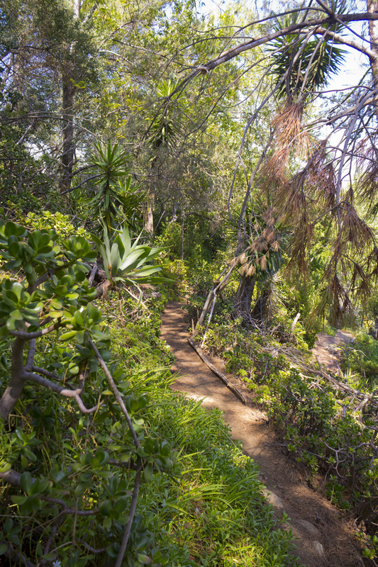
Amir's Garden is the result of three decades of work to turn a fire ravaged, barren hilltop into a lush ornamental garden by Amir Dialameh. Begun in 1971, Dialameh's work continues today through the efforts of volunteers and this 5 acre garden, a living testament to the difference one man can make in his community, is enjoyed by Griffith Park hikers and equestrians alike. The trek to the Garden is steep, but short, making it accessible to just about anyone. The hike described here is a loop that begins on a single-track ascent through thick chaparral and ends the dirt fire road at the entrance of Mineral Wells Picnic Area. The ascent is on a series of steep steps cut into the hillside and may be too challenging for some hikers. For them, climbing to the gardens and returning via the fire road may be the best option. You may also reverse the course and ascend the fire road and descend on the steps, but be aware the steps are steep and harder on the knees when descending. Whichever option you choose, at the heart of it all are the ruggedly cultivated gardens which invite you to meander along shaded walkways, read a book on a park bench or have lunch at one of the many picnic tables scattered throughout the grounds. A trip to Amir's Garden is always pleasant and relaxing way to spend an afternoon.
|
Click the full frame icon in the upper right corner for a larger map in a separate window.
|
Directions to TrailheadMineral Wells Road at Griffith Park Drive, near the golf driving range.
Exit the 134 at Forest Lawn Drive and proceed .3 mile. Turn right at the light onto Zoo Drive and proceed .2 mile. Turn left at the stop sign onto Griffith Park Drive and proceed 1.3 miles. Turn right into the Mineral Wells Picnic Area. Trailhead is located on the dirt fire road at the entrance of the Mineral Wells Picnic Area. |
Amir's Garden Trail Guide
|
LIghtbox feature now active. Click on any trail photo for a larger version.
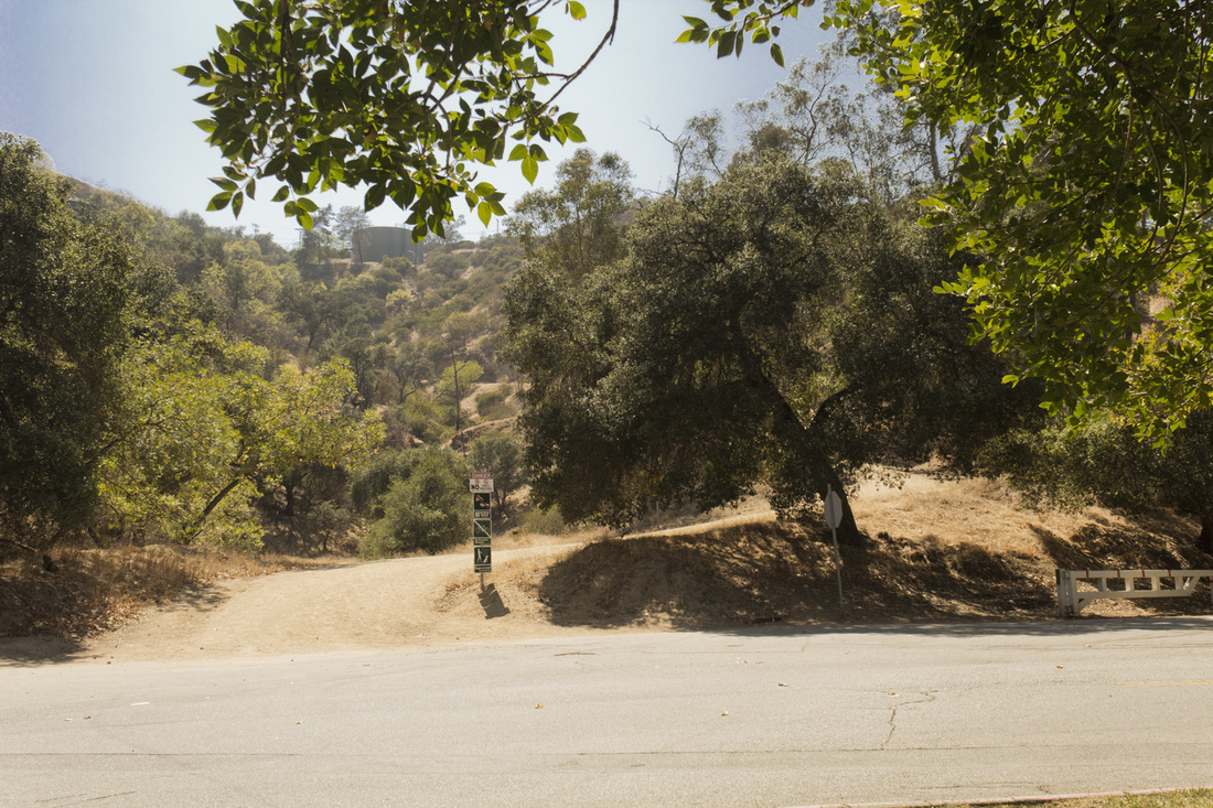
Trailhead

Fire road to steps
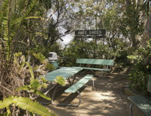
Amir's Garden Main Entrance
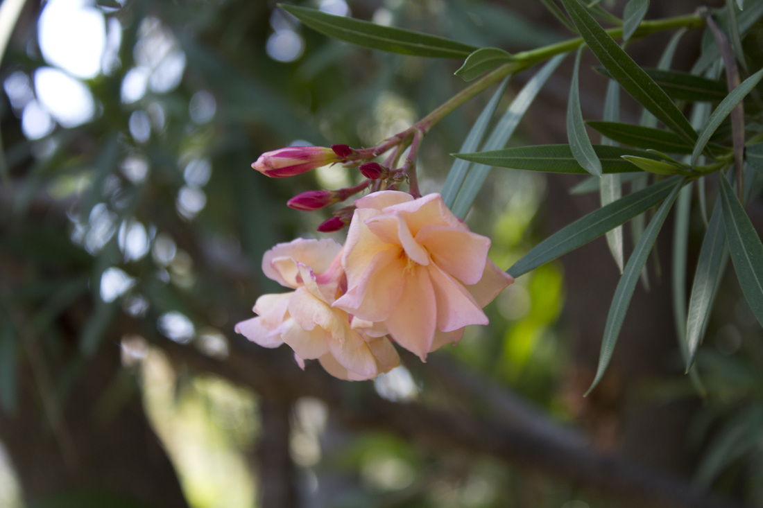
Garden Flower
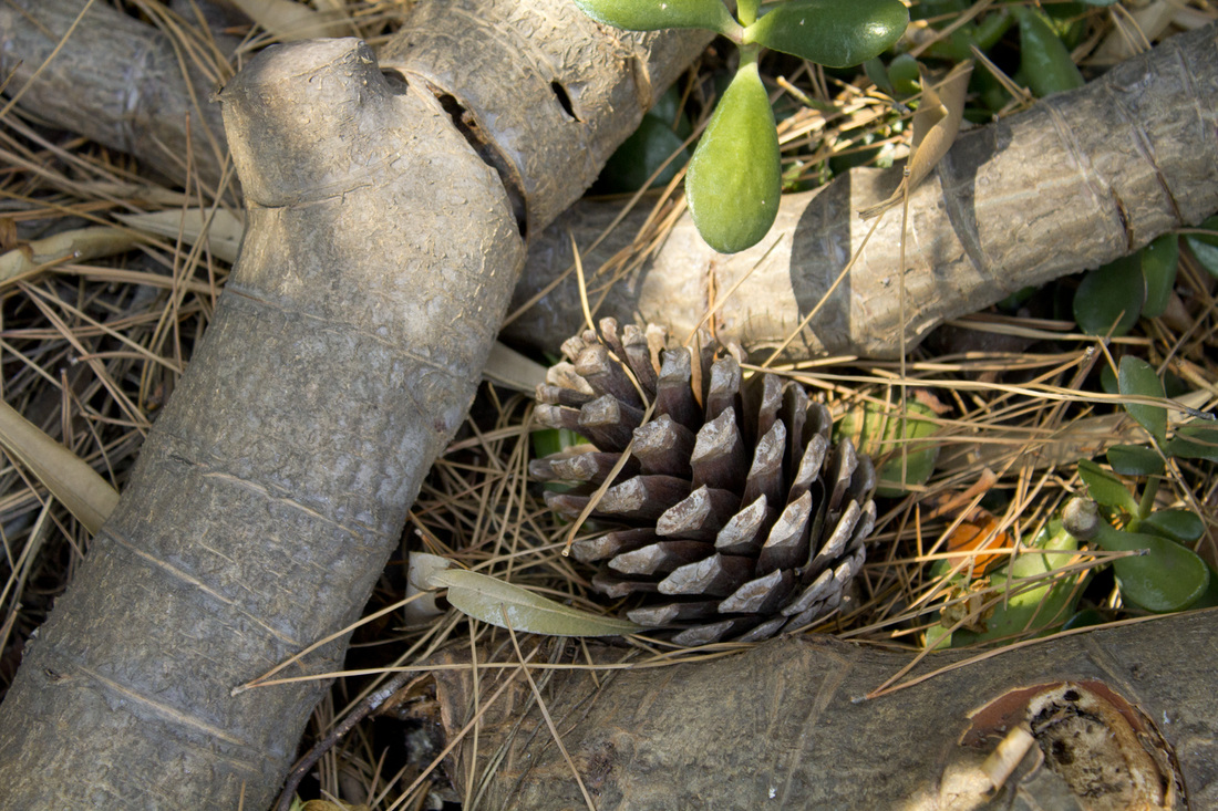
Pine Cone
|