HOLLYWOOD SIGN HIKE
|
TRAIL HIGHLIGHTS |
 Visitors to the Historic Hollywod Sign
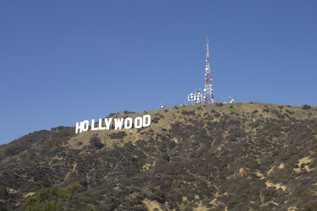
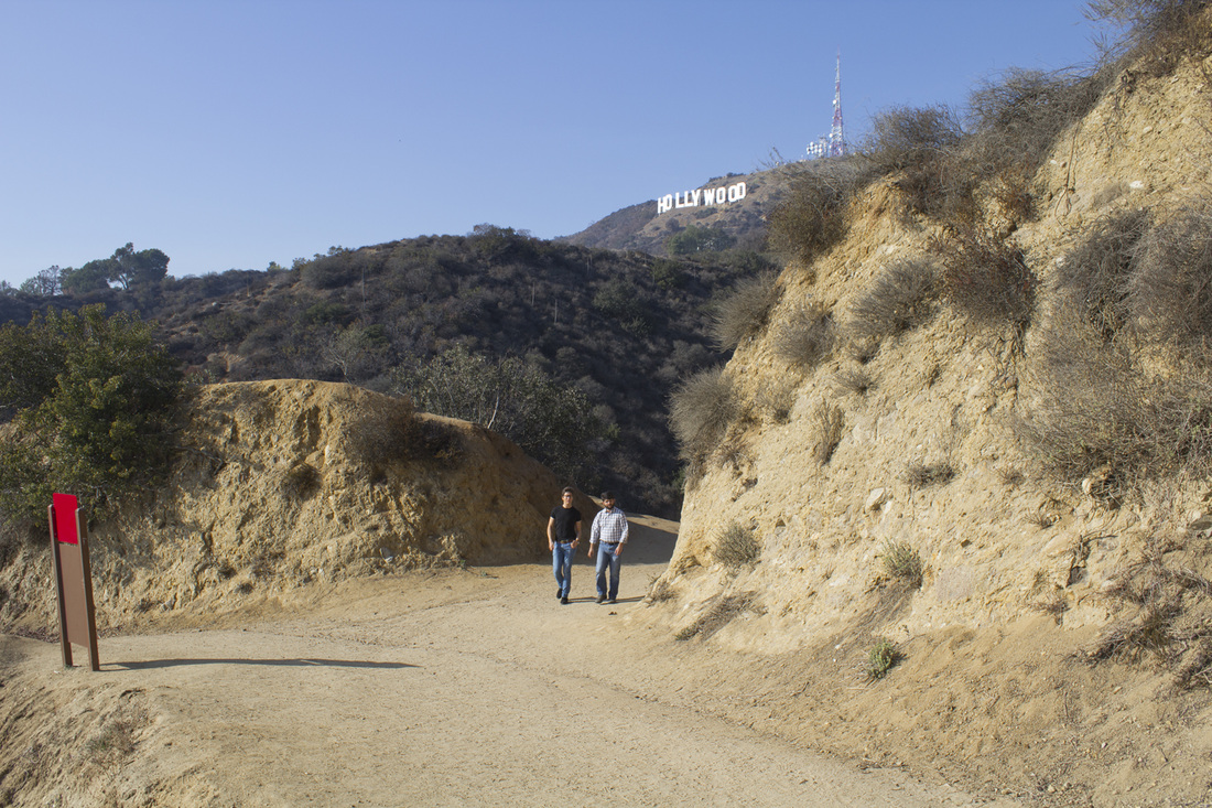
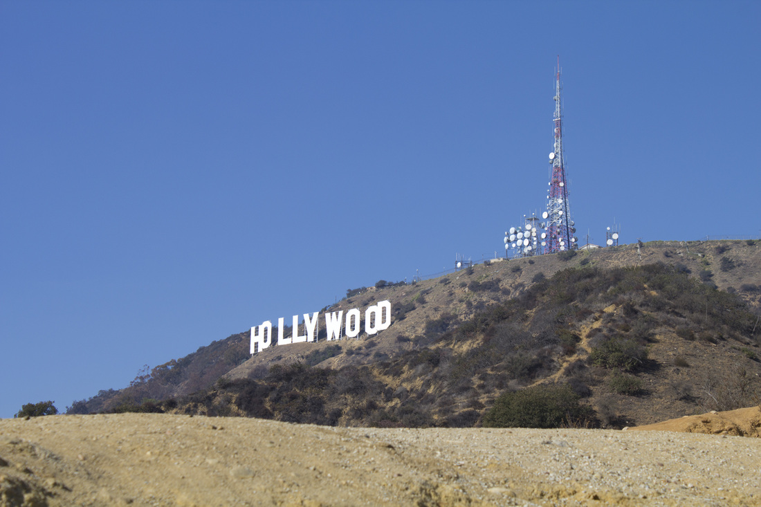
It's iconic, inspirational and perhaps the most famous landmark in all of Metro Los Angeles: The Hollywood Sign. Erected in 1923 high atop Mt. Lee in Griffith Park, the Hollywood sign can be seen from just about anywhere in the Los Angeles basin. The sign originally read Hollywoodland and was a promotional gimmick for a local real estate development company. While there are numerous vantage points to photograph this icon of Tinsel Town, most visitors want to get up close and personal with a bit of Hollywood history. This hike will take you there. Or at least as close as you can legally get.
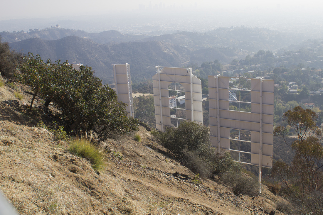
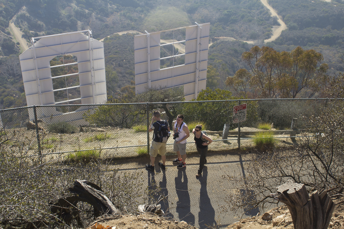
Due to frequent pranks and vandalism, a security fence and remote cameras have made it impossible to actually stand at the sign, but you can stand just above the 45' tall letters on top of Mt. Lee for sweeping views of the Los Angeles Basin including downtown Los Angeles, Hollywood, Santa Monica and, on clear days, the Pacific Ocean and Catalina Island. This is a sunshine hike, meaning there is no shade on the trail or available water, so bring your own. There are several great spots for picture taking and a short trail from the sign will bring you to the top of Cahuenga Peak, the highest point in Griffith Park with sweeping views of the Los Angeles Basin and the San Fernando Valley.
Due to frequent pranks and vandalism, a security fence and remote cameras have made it impossible to actually stand at the sign, but you can stand just above the 45' tall letters on top of Mt. Lee for sweeping views of the Los Angeles Basin including downtown Los Angeles, Hollywood, Santa Monica and, on clear days, the Pacific Ocean and Catalina Island. This is a sunshine hike, meaning there is no shade on the trail or available water, so bring your own. There are several great spots for picture taking and a short trail from the sign will bring you to the top of Cahuenga Peak, the highest point in Griffith Park with sweeping views of the Los Angeles Basin and the San Fernando Valley.
|
|
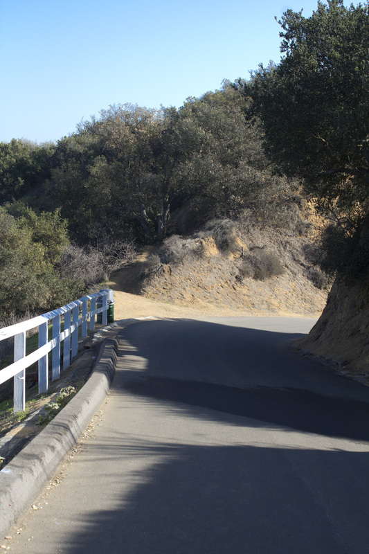
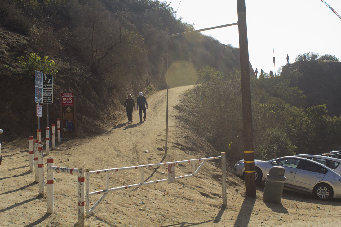
Directions to TrailheadExit the 101 N at Beachwood Drive and head north on N. Beachwood Dr. for 1.75 miles to Sunset Ranch Stables. Park in the dirt lot on your right.
From the 101 S, exit at Gower and turn left. Drive one block to the light and turn right onto Franklin. Drive one block and turn left onto N. Beachwood Dr. Proceed for 1.75 miles to Sunset Ranch Stables. Park in the dirt lot on your right. There is no water at the trailhead or on the trail; bring plenty with you. This is a sunshine trail; sunscreen is mandatory. |
Hollywood Sign Trail Guide
|
LIghtbox feature now active. Click on any trail photo for a larger version.
Hollywood Sign Trailhead on N. Beachwood Dr.
Trail Junction 1 with first view of sign behind you
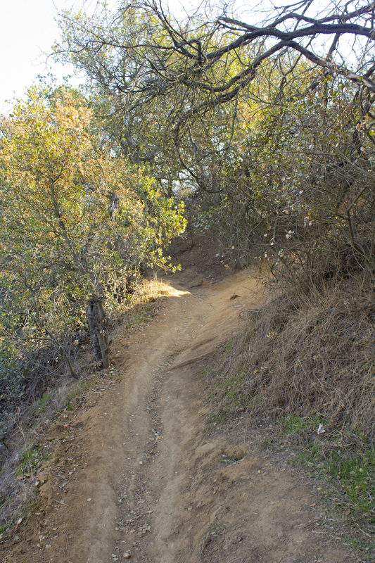
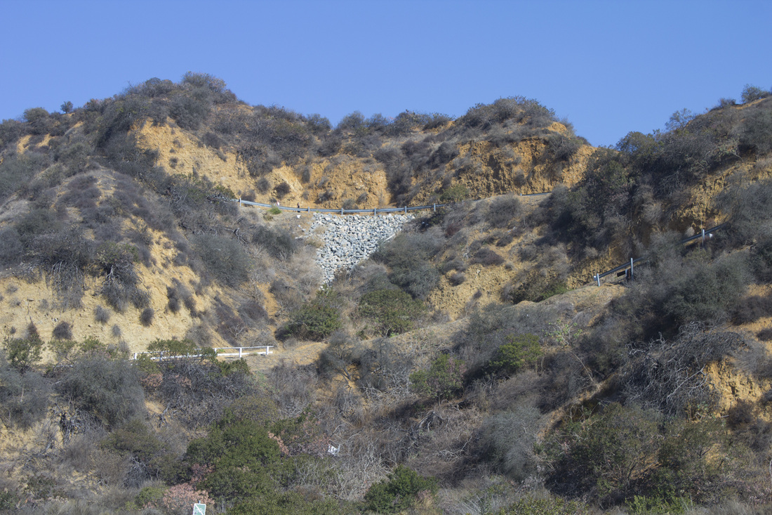
Trail around Brush Canyon
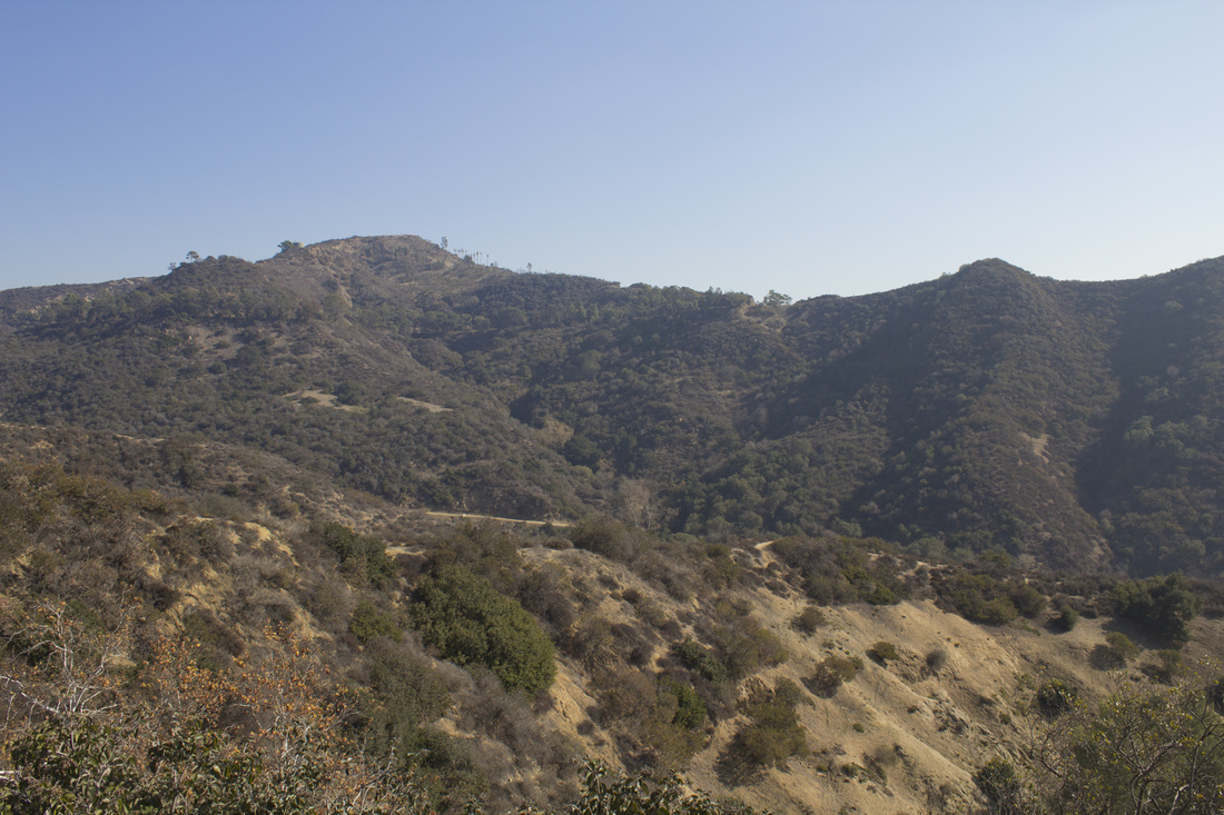
Mt. Hollywood from Hollyridge Trail
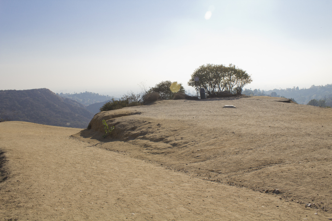
Scenic View 1
Hollywood Sign from Scenic View 1
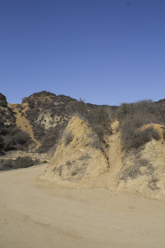
Use Path Lower Junction
Mt. Lee Drive winds its way up Mt. Lee
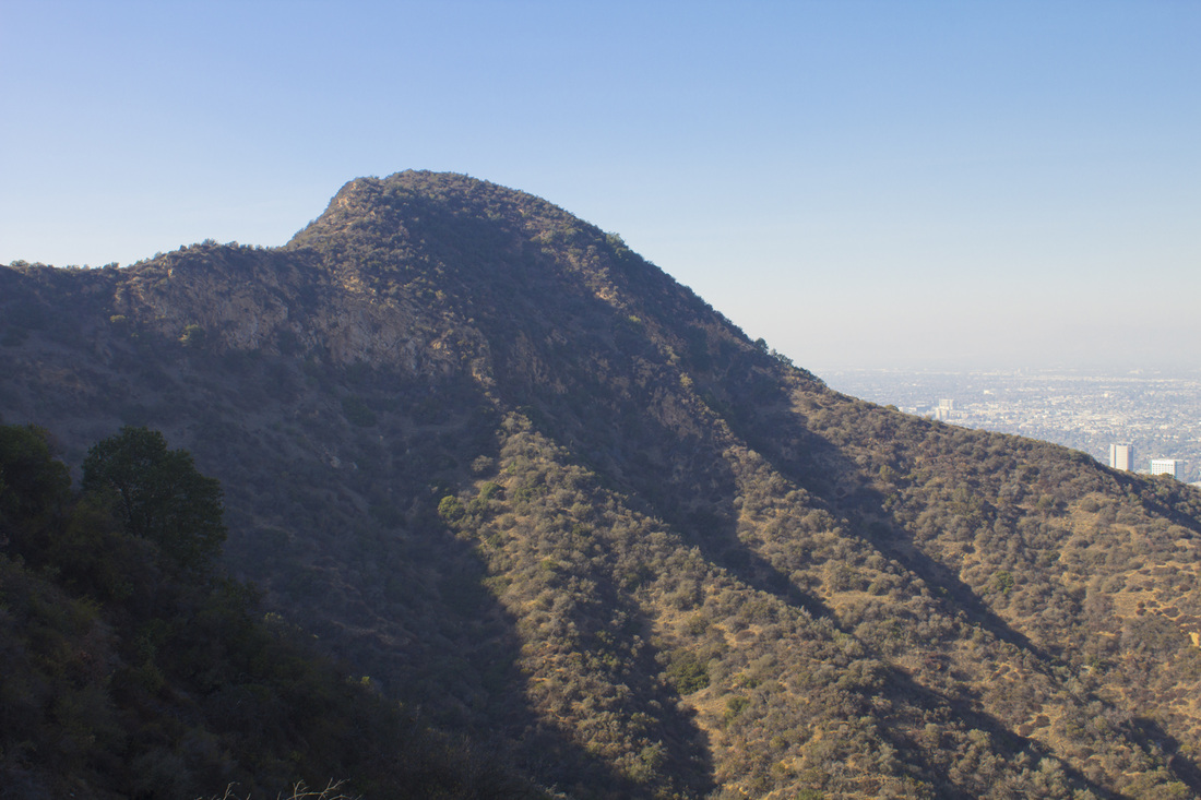
Cahuenga Peak from Mt. Lee Drive
|