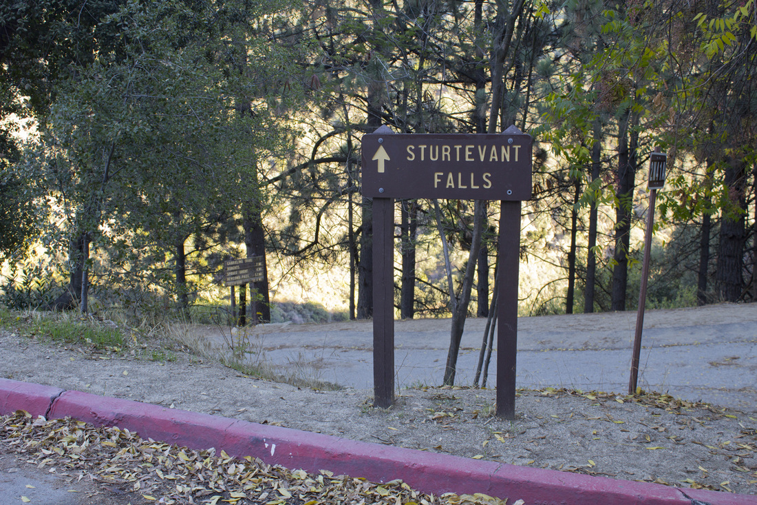
STURTEVANT FALLS HIKE
|
TRAIL HIGHLIGHTS |
Removed from the high rise towers of downtown Los Angeles by a mere 20 miles, hiking to the falls is like taking a step back in history. Gold discovered in 1850 created a small flurry of interest around the canyon, but no ore of any consequence was removed from the area. The canyon was later slated for logging, but the establishment of the Angeles National Forest preserved the canyon in its natural state. The early part of the 20th century saw the construction of numerous cabins and hiker's hotels. Of the 350 original cabins only about 80 remain today; the others having succumbed to floods and fire. If you are looking for a true wilderness hike, you may find the rustic cabins and heavy crowds a bit disconcerting, but the historic nature of the canyon, the foliage and the water features make this a trip worth taking.
|
Click the full frame icon in the upper right corner for a larger map in a separate window.
|
Directions to TrailheadExit the 210 at Santa Anita Ave and head north for 1.7 miles. N Santa Anita Ave will become Chantry Flats Road as you enter the national forest. Make sure you have an Adventure Pass for parking. Passes may be bought at the pack store at Chantry Flats.
Continue on Chantry Flats Road for 3.3 miles until you reach the Chantry Flats Recreation Area. Parking at Chantry Flats requires an Adventure Pass. Passes are $5/day or $30/yearly and can be purchased at the Adam's Pack Station in Chantry Flats or the National Forest Office at 701 N Santa Anita Ave in Arcadia on the south side of the 210. |
Sturtevant Falls Trail Guide
|
Big Santa Anita Canyon from Chantry Flats
Trailhead
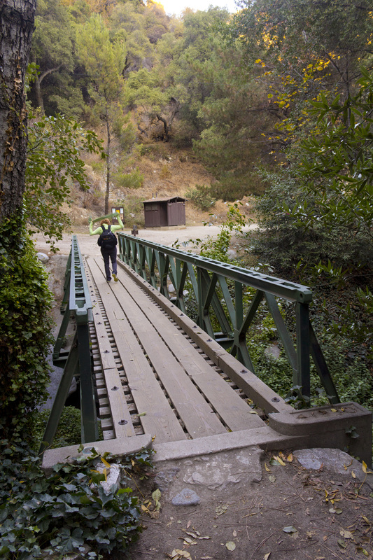
Footbridge

Santa Anita Wash
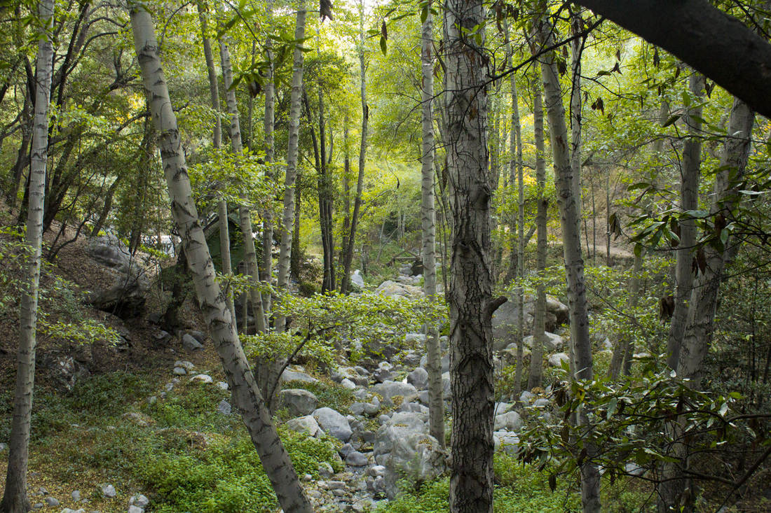
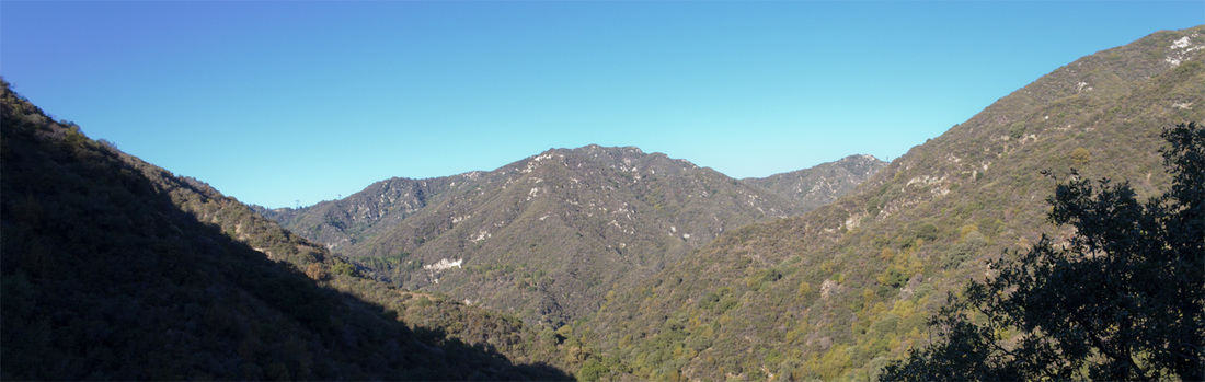
Big Santa Anita Canyon
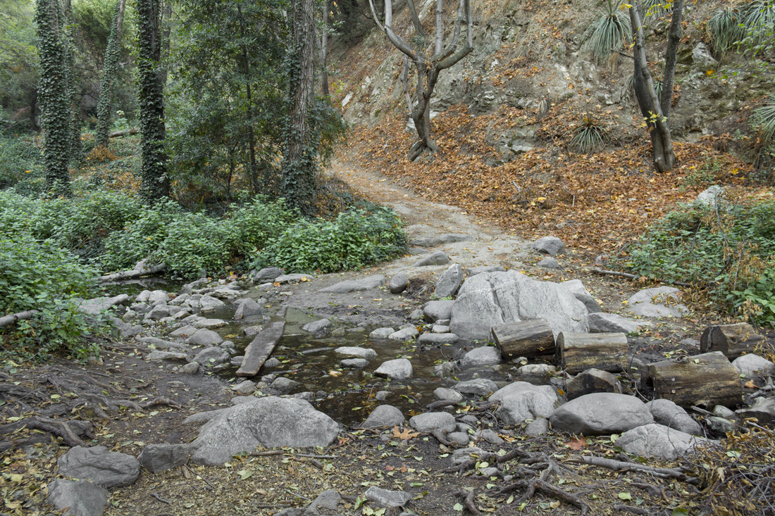
Fiddler's Crossing
Wash at Fiddler's Crossing
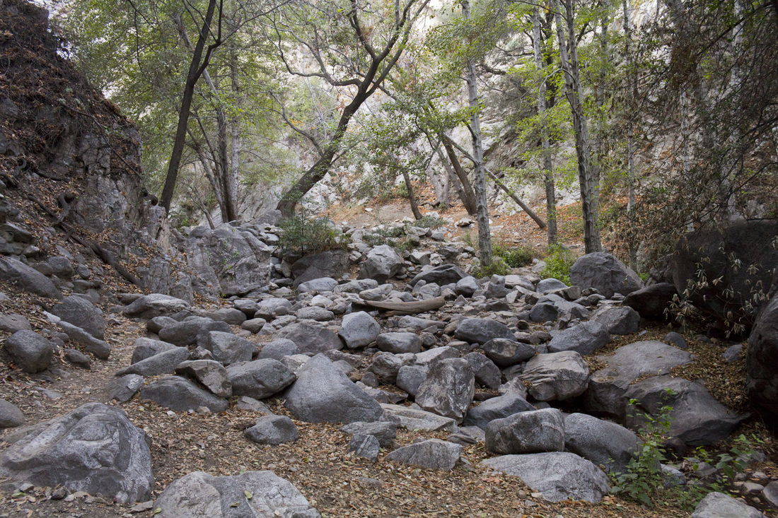
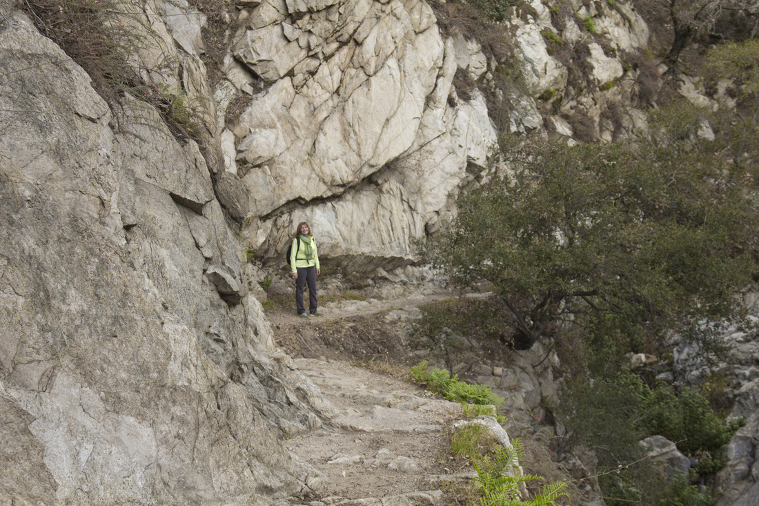
Boulder Field
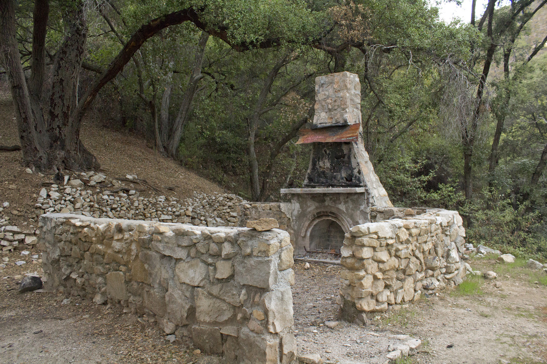
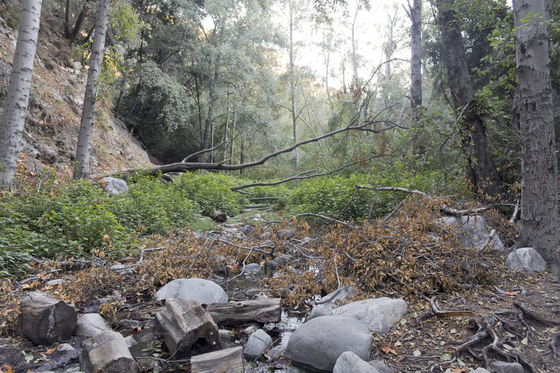
Abandoned Cabin
Lower Gabrielino Trail

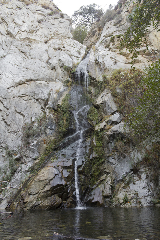
Upper Falls
|