
ECHO MOUNTAIN HIKE
|
TRAIL HIGHLIGHTS |
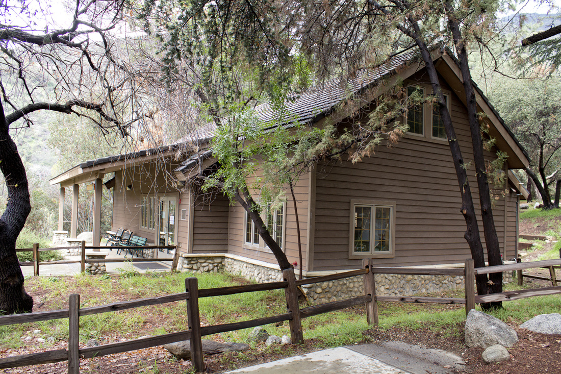
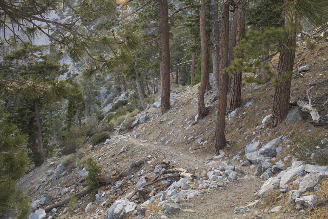 Lower Sam Merrill Trail
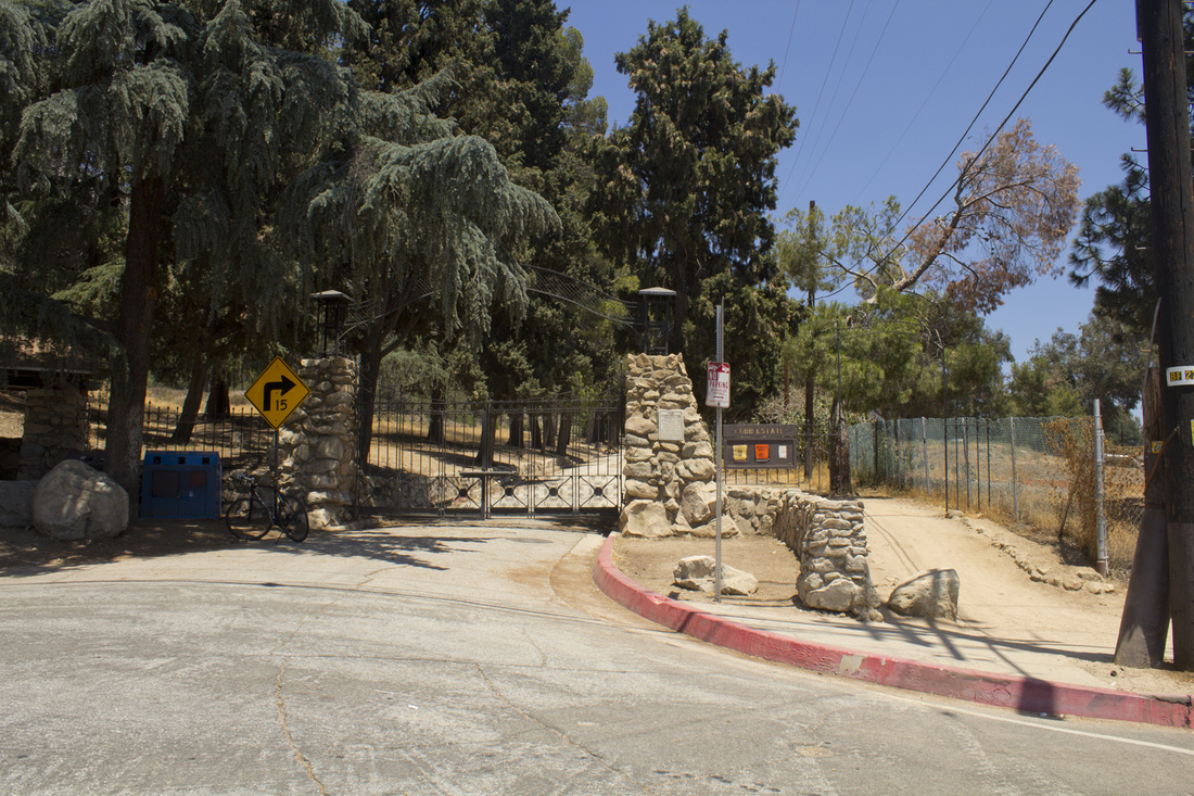
The Echo Mountain Trail is actually a combination of two trails, the Lower Sam Merrill Trail and the Mount Lowe Railway Trail. The trail winds 2.75 miles one-way along a system of switchbacks through the Las Flores Canyon, with a brief crossover to Rubio Canyon and along an upper ridge to the Echo Mountain promontory above Altadena, CA. The trail begins on the Lower Sam Merrill Trail at the iron gates of the Cobb Estate, once owned by lumber magnate Charles Cobb and later by the Marx Brothers, and follows the main drive for about .1 of a mile before veering off into Las Flores Canyon. For roughly the first one-third of a mile the trail is relatively level, but once it crosses the canyon it begins a moderately steep and aggressive climb along a series of sweeping switchbacks. As you gain elevation, majestic views of the San Gabriel Valley, Pasadena and downtown Los Angeles begin to appear. Unfortunately, most of the hike is contained within the Las Flores Canyon and the views can be somewhat repetitive. The trail only ventures over the ridge into Rubio Canyon briefly before returning to Las Flores Canyon. At about 2.38 miles into the hike, the trail makes a turn to the south and begins to level out as it approaches the upper ridge. At 2.58 miles, the Sam Merrill merges with Mount Lowe Railway Trail providing a nice, easy, flat hike for the last quarter mile.
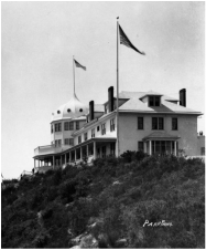 Echo Mountain House circa 1894
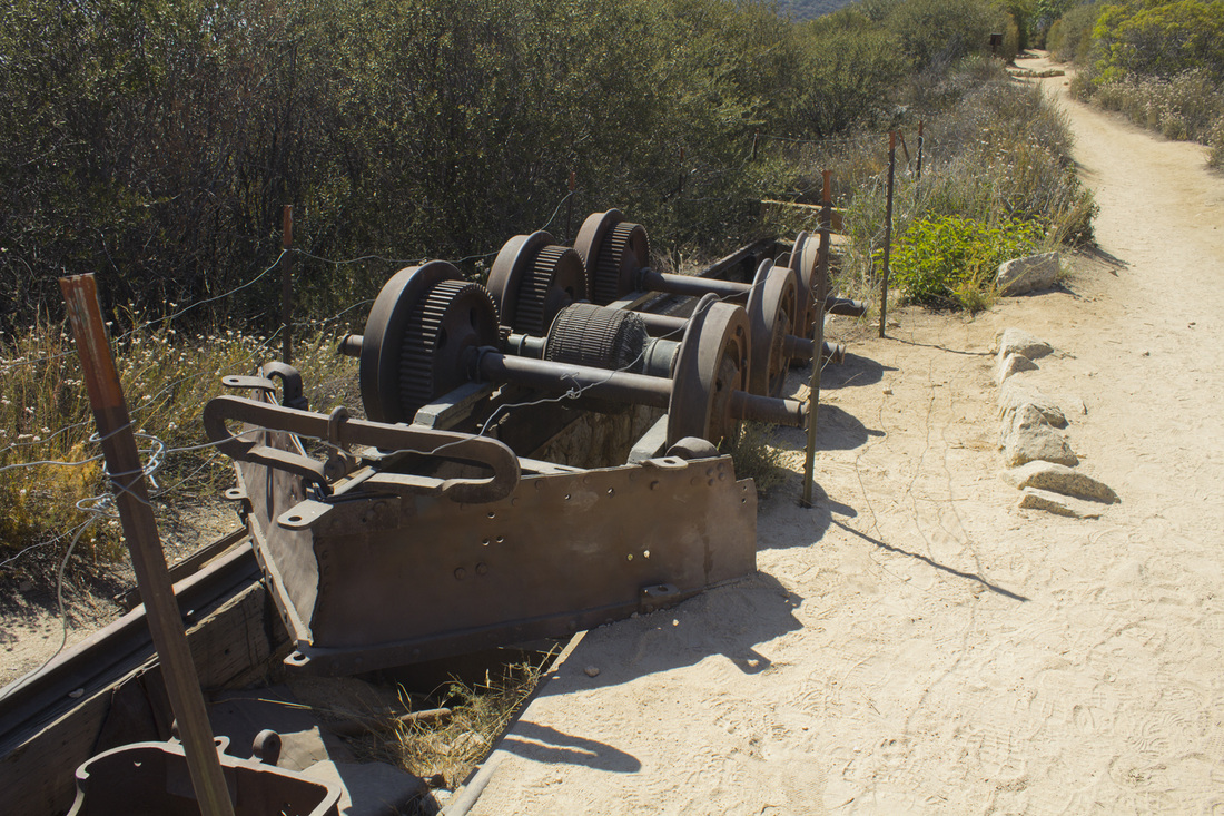
The trail ends at a concrete pad that once served as the depot for the Mount Lowe Incline Railway, a funicular rail system that brought tourists and locals from the bottom of Rubio Canyon to the high promontory known as Echo Mountain. It was on this point that Professor Thaddeus Lowe built a Victorian resort including a 40-room chalet, astronomical observatory, zoo, dance hall and the Echo Mountain House, a 70-room palatial hotel dedicated to Victorian extravagance. The entire complex of buildings was painted a gleaming white and could be seen shining from the crest of the San Gabriel Mountains in downtown Los Angeles, earning the resort the nickname "The White City in the Sky." The funicular incline railway and chalet opened in 1893 and the Echo Mountain House in 1894. For a brief time, the resort was the most visited honeymoon destination in the US. The end came all too soon for the White City, beginning when the properties fell into receivership and Lowe lost control in 1899. In 1900, the Echo Mountain House was destroyed by a kitchen fire and never rebuilt. The remaining buildings were also destroyed by fire in 1905, with the exception of the observatory, which was itself felled by a windstorm in 1928. A three-day thunderstorm in 1938 washed the railroad, which extended all the way to Mount Lowe, completely off the mountain.
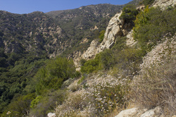 Buckwheat and Bluffs
All that remains today are some foundations of both the hotel and the funicular power house. The grip and guide wheels from the powerhouse lay trailside rusting in the California sun. The remnants of an engine from the rail line, complete with snow plow, was discovered on the lower slopes of the mountain and hauled back up, a wrecked reminder of the city that once was.
The property's once resplendent picnic grounds still serve that purpose, albeit in a considerably less cultivated state. There is plenty of shade and a few Forest Service picnic tables are available for those who make the climb. The views from the ruins of the hotel are spectacular, and on clear days it is possible to see all the way to Catalina Island, some 65 miles distant. At the back of the resort, a replica echophone has been installed for hikers to hear their voices reverberating across Castle Canyon as newlyweds and well-heeled tourists did over 100 years ago. For a chance to step back in history, a hike to the ruins of the White City is well worth the trek.
For additional information on Thaddeus Lowe, the Mount Lowe Railway and the White City in the Sky, read our blog by clicking here.
|
Click the full frame icon in the upper right corner for a larger map in a separate window.
|
Directions to Trailhead3302 Lake Avenue
Altadena, CA 91001 From the 210 Freeway in Pasadena, take exit 26 and head north on Lake Ave. Drive 3.6 miles to where the road makes a hard left and becomes East Loma Alta Drive. The trailhead is on the right side of this junction through the iron gates of the former Cobb Estate. Street parking is available on either Lake Avenue or East Loma Alta Drive. |
Echo Mountain Hike Trail Guide
|
Click any photo below for a larger lightbox image.
Sam Merrill Trailhead to Echo Mountain
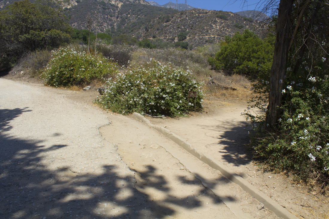
Trail Junction 1

Trail Junction 2
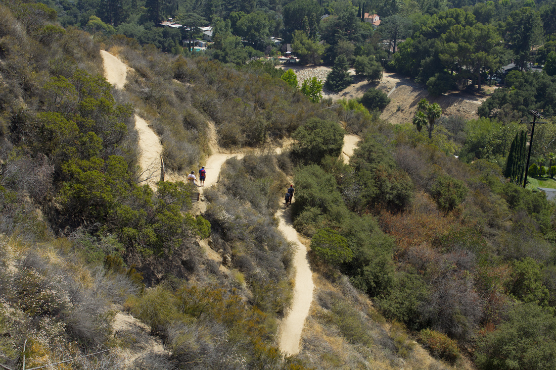
Trail Switchbacks
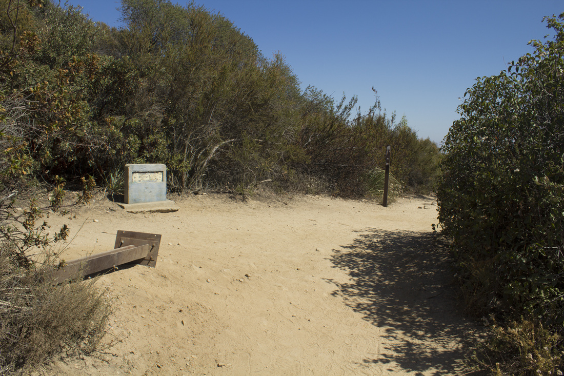
Trail Junction 3
Mt. Lowe Railway
|


Echo Mountain Trail Image Gallery
