
GRIFFITH PARK TRAIL RUN
|
TRAIL HIGHLIGHTS |
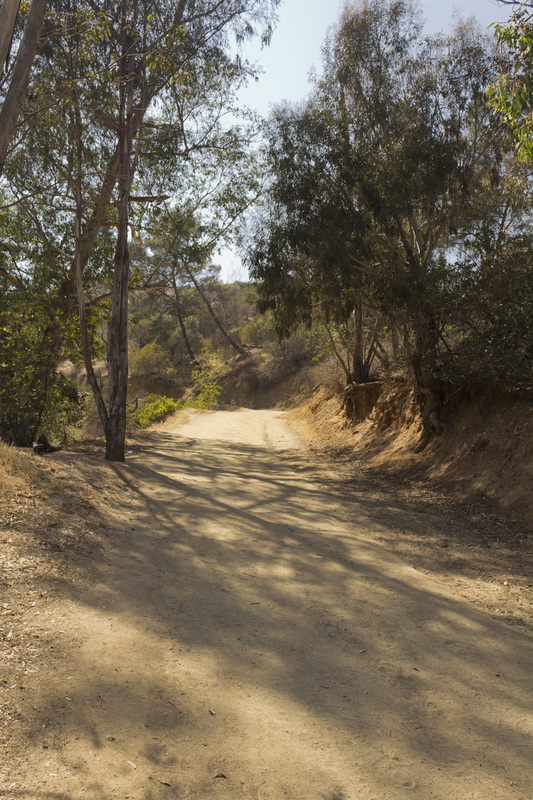
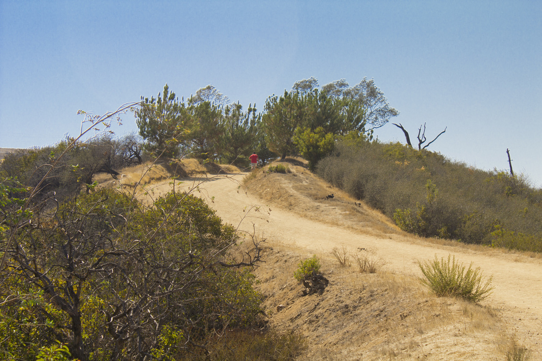
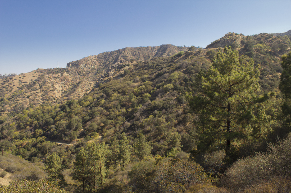
As a runner, this is one of my favorite trails in the park. Running one direction gives a steady, but moderate climb on single-track trail for endurance training, while running the other way starts with a strenuous, heart-pounding ascent to build power. But it's also great hike for those who just want to walk. In a 4.5 mile loop you will get to experience all the different types of terrain in the park while feasting your eyes on some delicious mountain landscapes. The trail begins with a fairly steep, but short climb to Amir's Garden, a delightful cultivated garden with walking paths and picnic tables. Pushing uphill from Amir's Garden you will skirt the Toyon Landfill on dirt fire road, passing a unique bluff cave rock formation before reaching the closed Vista del Valle Road. You will continue along Vista del Valle walking in the shade of Eucalyptus, Oak and Pine while taking in views of the San Gabriel Mountains to the east. The unique geologic striations of the rock underlying the mountains of Griffith Park have been revealed by the construction of the road. At Water Tank 13 you'll begin your descent on single-track trail through a mix of woodlands and coastal chaparral featuring great views of Bee Rock, Beacon Hill and Mt. Bell. Your trek ends on the gently rolling hills of a dirt fire road that parallels Griffith Park Drive. And while making your hike, see if you can spot the abandoned swimming pool perched on a lower peak in the canyon below Amir's Garden.
|
Click the full frame icon in the upper right corner for a larger map in a separate window.
|
Directions to TrailheadMineral Wells Road at Griffith Park Drive, near the golf driving range.
Exit the 134 at Forest Lawn Drive and proceed .3 mile. Turn right at the light onto Zoo Drive and proceed .2 mile. Turn left at the stop sign onto Griffith Park Drive and proceed 1.3 miles. Turn right into the Mineral Wells Picnic Area. Trailhead is located on the dirt fire road at the entrance of the Mineral Wells Picnic Area. Rest rooms and water are available in the Mineral Wells Picnic Area. |
Griffith Park Trail Run Trail Guide
|

Trailhead
Beginning the first steep section at the trailhead
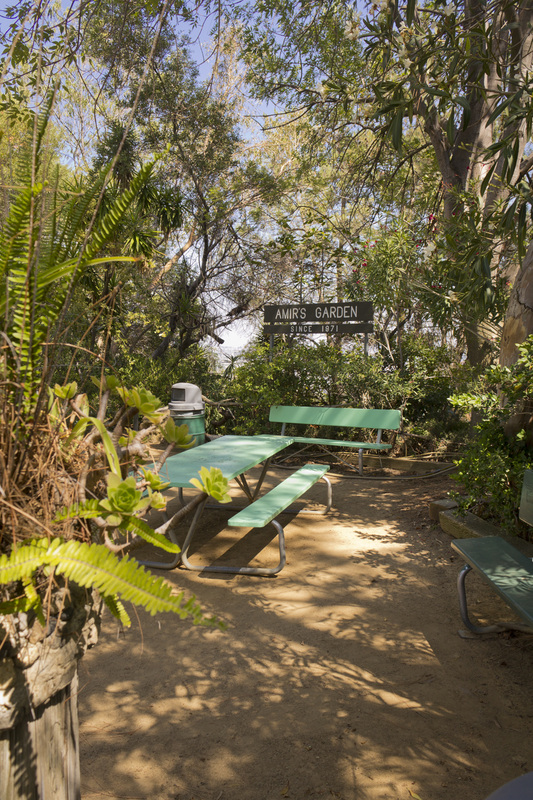
Amir's Garden
Trail above Amir's Garden

Bluff Cave
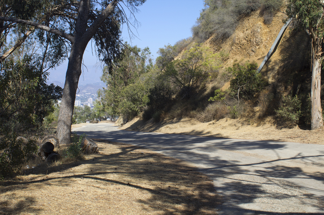
Vista del Valle Drive
Hogback Ridge
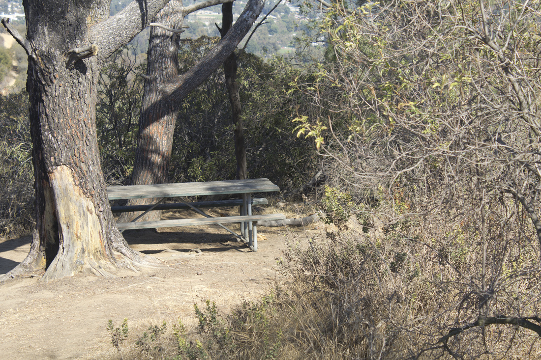
Backcountry Picnic Table
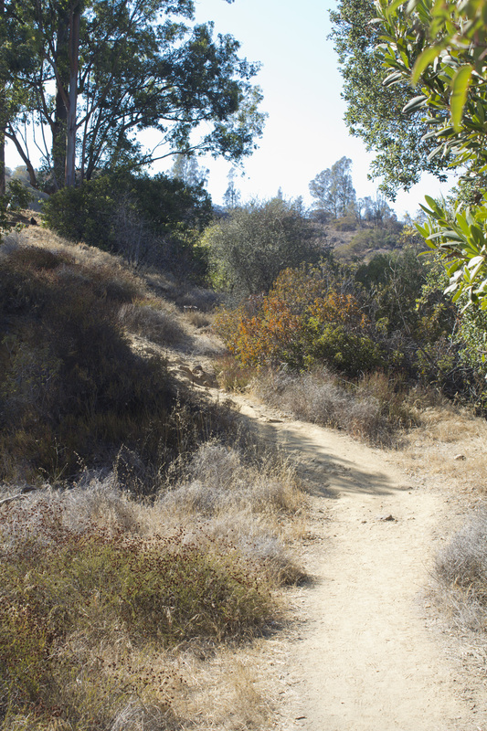
Single-track Trail
|


