
ROYCE'S CANYON HIKE
|
TRAIL HIGHLIGHTS |
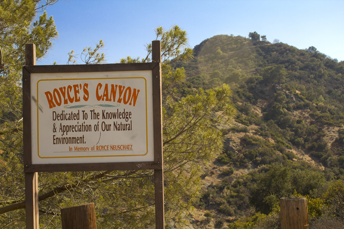
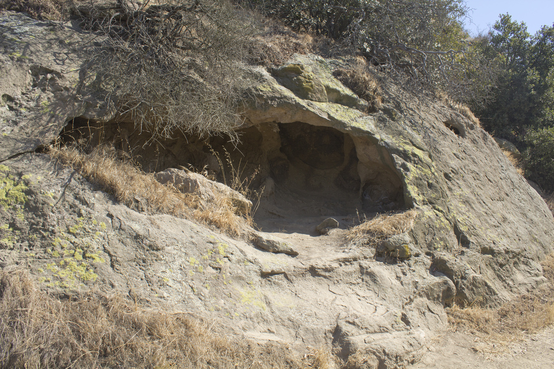
Royce's Canyon is a canyon saved. Slated for development as a landfill, activists, led by Royce Neuschatz, mounted a fierce campaign to halt the planned filling of this secluded canyon with city trash. Ms Neuschatz and her followers were rewarded for their efforts when the city abandoned its plans in the late 80s. When the former Parks and Recreation Commissioner passed away from cancer at the age of 57, the canyon was renamed in her honor. The trail follows Mt. Hollywood Drive, a closed to vehicular traffic roadway, as it winds its way around the upper perimeter of the canyon. There are fewer visitors to this backside of the park, making for a much more private hike than to more popular sites like Mt. Hollywood or the Griffith Observatory. The hike is a fairly steady moderate uphill climb, mitigated somewhat by the fact it is paved and is ideal for parents who want to get a bit of a workout while pushing a stroller. Portions of the trail flatten out for extended sections with only one really steep area near the end. Depending on the time of day, much of the roadway is covered in shade from overhanging oak, chestnut and sycamore trees. Climbing to the upper reaches of the canyon you will pass grand vistas, quiet coves, a haunted picnic table and, if you take the side trail into the canyon, a small cave. While hiking Royce's Canyon, take a moment to remember Ms Neuschatz and her good fight, for without her this lovely canyon would just be someone else's trash.
|
Click the full frame icon in the upper right corner for a larger map in a separate window.
|
Directions to TrailheadGriffith Park
5400 Griffith Park Drive, across from the Griffith Park Composting Facility Los Angeles, CA 90027 Exit the 134 at Forest Lawn Drive and proceed .3 mile. Turn right at the light onto Zoo Drive and proceed .2 mile. Turn left at the stop sign onto Griffith Park Drive and proceed .8 mile. Turn right into the dirt parking lot across from the composting facility. Trailhead is the dirt fire road located on the west side of the parking area. Do not cross Griffith Park Drive to the fire road opposite the parking lot next to the composting facility. That is a different trailhead. |
Royce's Canyon Trail Guide
|
LIghtbox feature now active. Click on any trail photo for a larger version.
Trail Junction 2
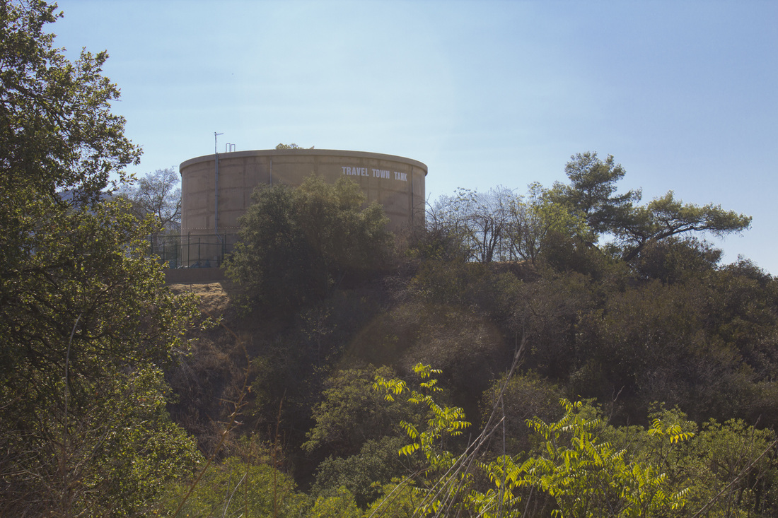
Travel Town Water Tank
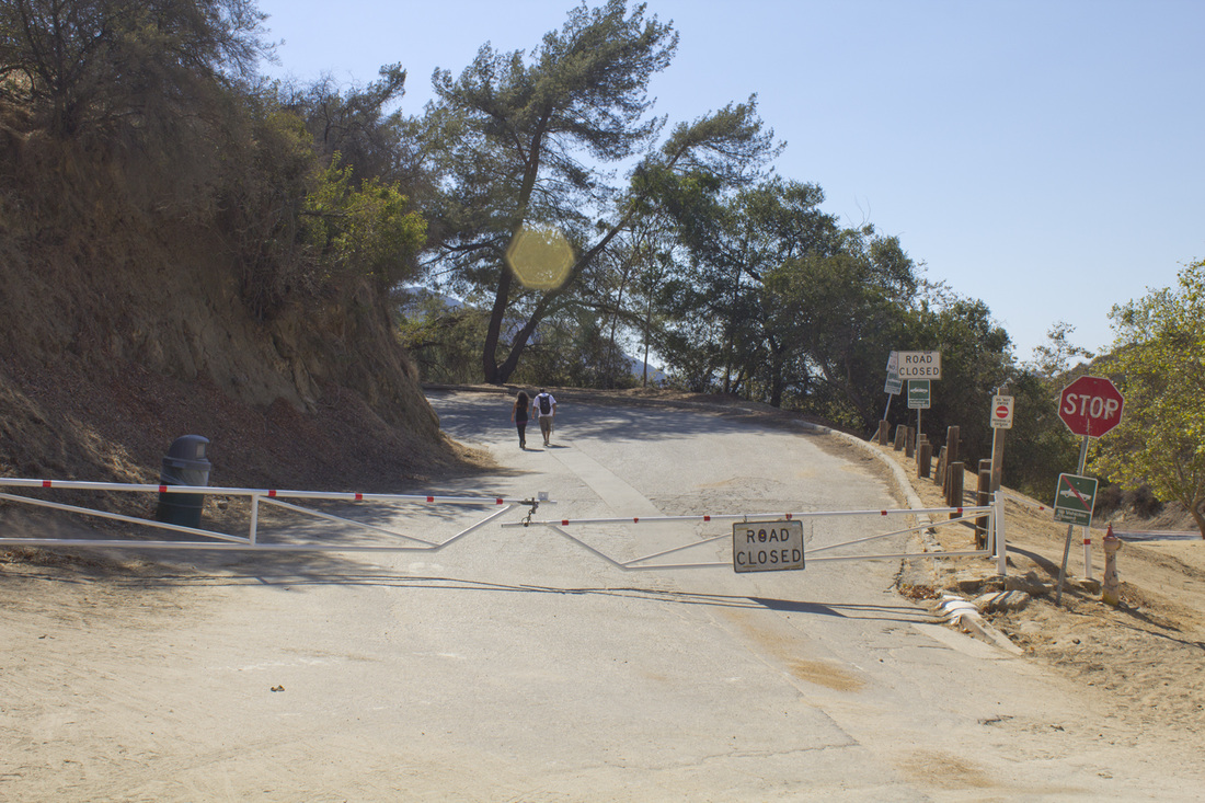
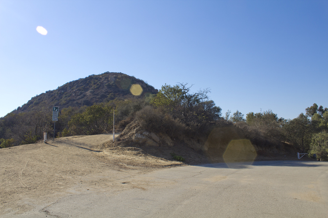
Royce's Canyon Trailhead on Mt. Hollywood Drive
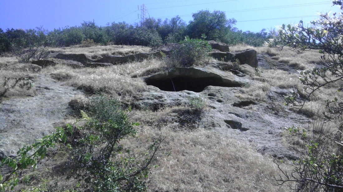
Royce's Canyon Cave
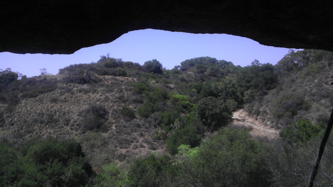
Inside Royce's Canyon Cave
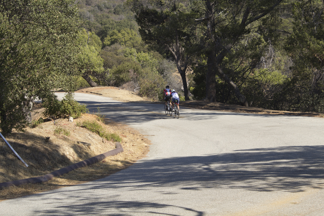
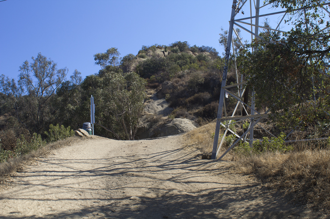
Mt. Hollywood Drive
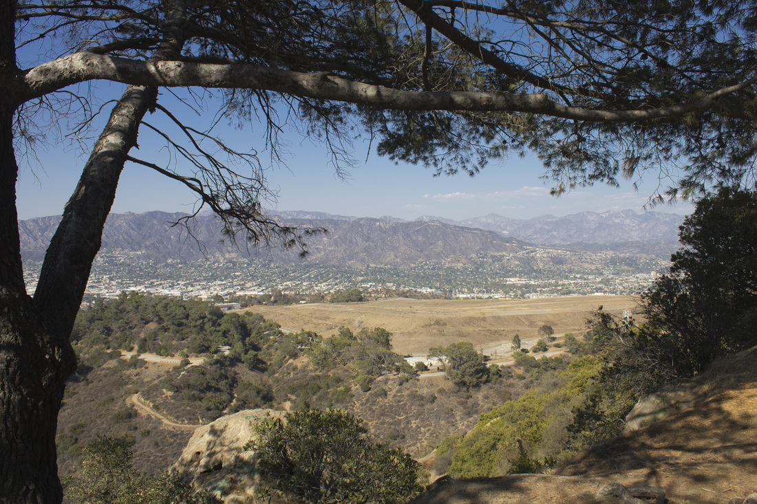
Scenic View
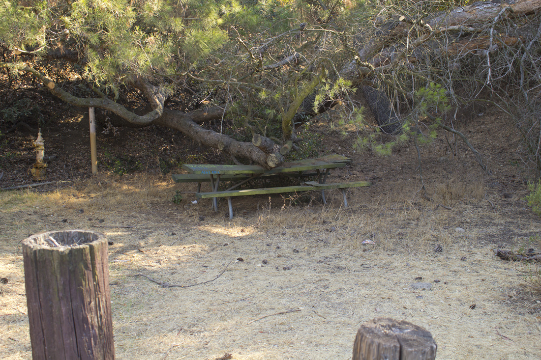
Haunted Picnic Table 29
End of Out-and-Back Trail
Trail Junction 5 From Below Junction
Prehistoric Beast or Weathered Rock?

Toyon Landfill Perimeter Trail
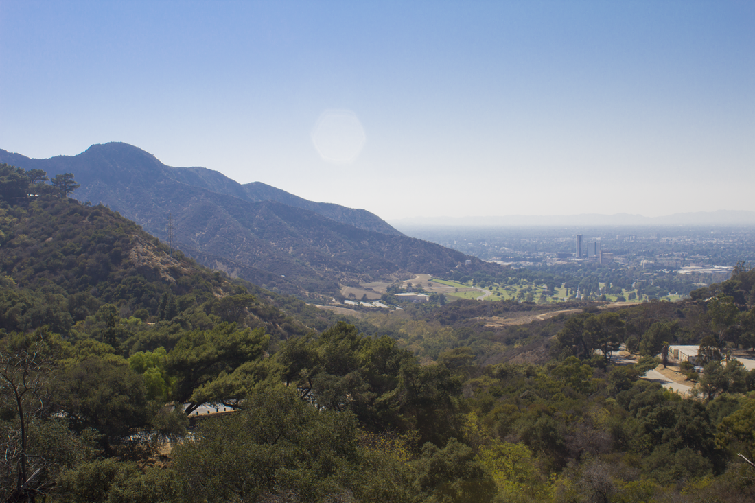
Scenic View
|


