ADVISORY NOTICE: All hiking trails in the Verdugo Mountains are currently closed due to the La Tuna Canyon Fire that consumed nearly 6,000 acres over Labor Day Weekend. Updated 9/3/17.
VERDUGO SUNSET HIKE
|
TRAIL HIGHLIGHTS |
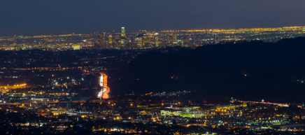
This short hike begins in the Wildwood Canyon Park amongst a thick overhanging canopy of Sycamores, Alder and Live Oak. It climbs quickly out of the canyon and the trees on the slope are replaced by the ubiquitous coastal chaparral of Southern California. A series of steep switchbacks brings you to a transverse ridge and a lower summit where the San Fernando Valley falls away from you, stretching all the way to the Santa Monica Mountains and the setting sun. Several benches placed near the summit make a great spot for romantic couples to take in nature's beauty as the Valley lights twinkle below and planes land at nearby Burbank Airport. It's a quick descent back to the parking area once the sun has disappeared.
|
Click the full frame icon in the upper right corner for a larger map in a separate window.
|
Directions to TrailheadWIldwood Canyon Park
1701 Wildwood Canyon Road Burbank, CA When you enter Wildwood Canyon Park, drive about a .25 mile on Wildwood Canyon Road to the second stone arch on your left. The arch marks the trailhead. Park on your right. Port-a-potties and a water fountain are available in the parking area. Full service rest rooms and water are located another .25 mile further on Wildwood Canyon Road at the third stone arch. |
Verdugo Sunset Hike Trail Guide
|
LIghtbox feature now active. Click on any trail photo for a larger version.
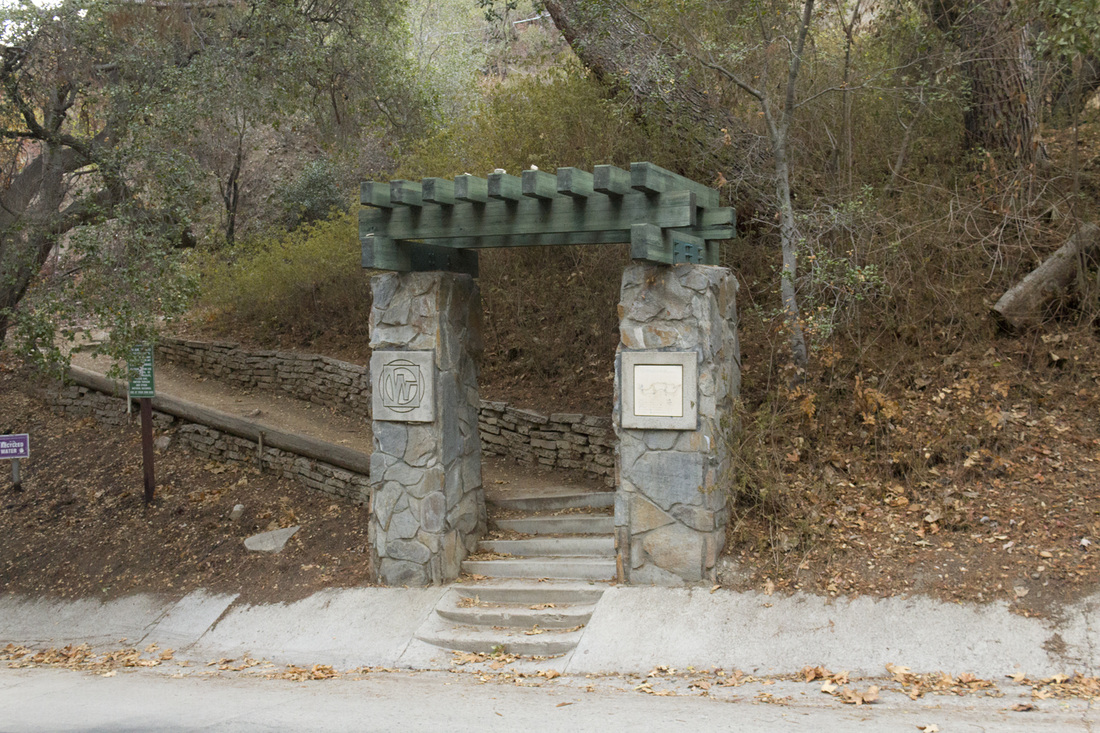
Trailhead at second stone archway

The trail to Junction 1
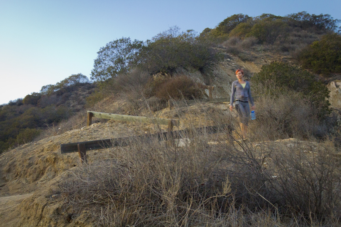
Switchbacks
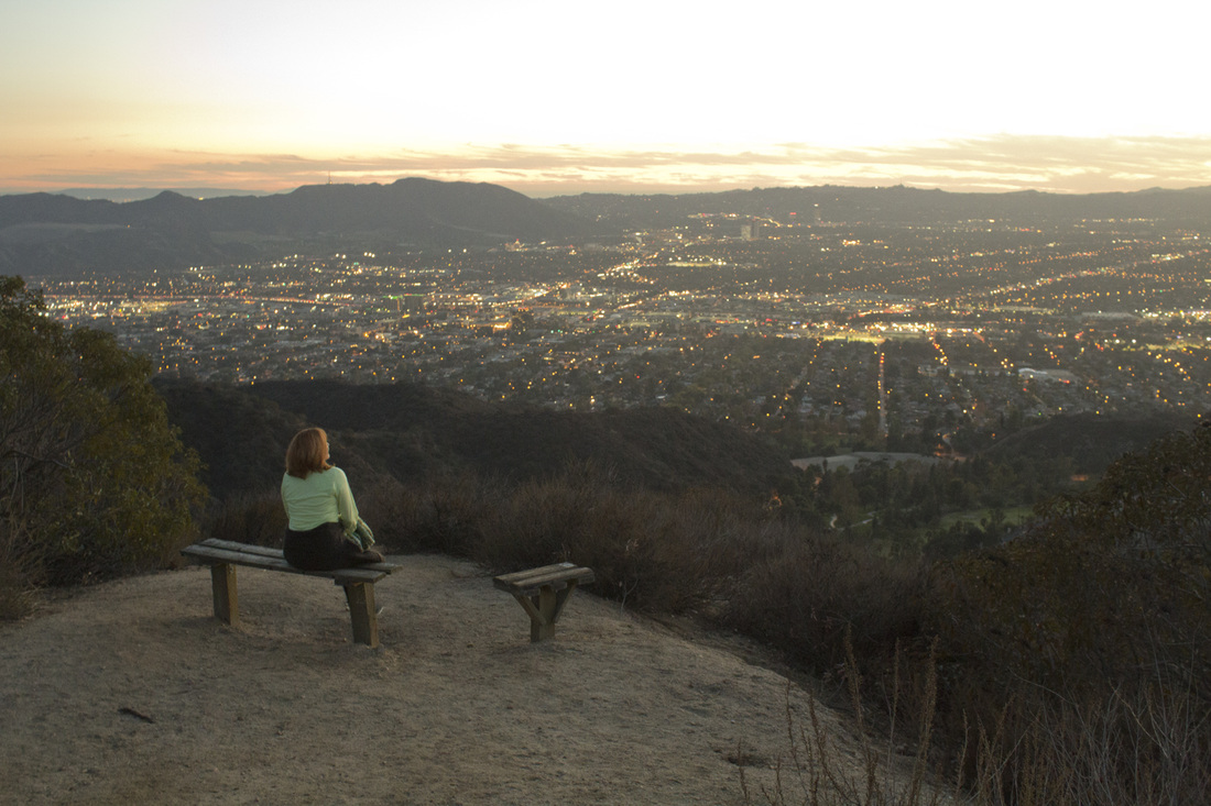
Summit Benches
|