ADVISORY NOTICE: All hiking trails in the Verdugo Mountains are currently closed due to the La Tuna Canyon Fire that consumed nearly 6,000 acres over Labor Day Weekend. Updated 9/3/17.
CROSS OF SAN YSIDRO SUNRISE HIKE
|
TRAIL HIGHLIGHTS |
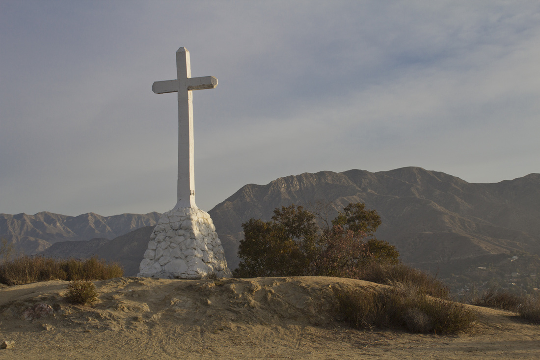
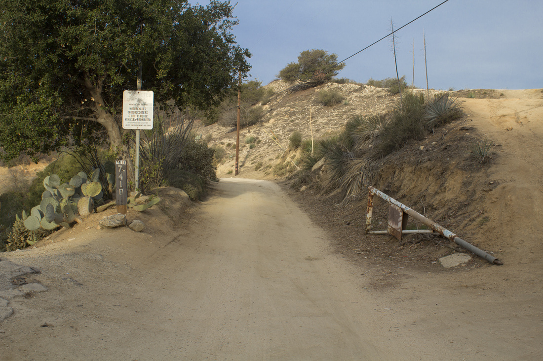
This is a quick and easy hike to one one of the smaller mountains in Los Angeles, Mt. McGroarty (2113'). The trail is along a dirt fire road and for the most part is a fairly uninteresting walk, with the main feature being the 30' concrete cross at the summit. At the first trail junction, however, is a large patch of prickly pear cactus surrounded by smaller patches of other cacti species. There were also numerous jack rabbits and a surprising number of humming birds flitting about. The mountain on which the cross stands is technically Mt. San Ysidro, but is known locally as Mt. McGroarty in honor of California writer John McGroarty. The summit is a large flat area with the cross standing at the edge of the cliff overlooking Tujunga, CA. Sunrise services are held each Easter Sunday as they have since 1925. Teen vandals toppled the cross in 1975, but it was restored by the City of Los Angeles, albeit with a slight bend. The cross is not in great shape with sections of the base showing major cracks. The cross may also be subject to constitutional questions as it does sit on city property, so if you want to see this bit of southern California history, take the short drive to Tujunga and see a different side of Los Angeles. Parking is extremely limited at the trailhead, but you may also access the cross from the McGroarty Park in Tujunga, which has much more ample parking and doesn't require getting up quite so early.
|
Click the full frame icon in the upper right corner for a larger map in a separate window.
|
Directions to TrailheadCross of San Ysidro
9733 North Estaban Way (closest address to trailhead) Tujunga, CA 91042 Exit the 5 onto Sunland Blvd. Proceed north 4.1 miles. Sunland Blvd. will pass under the 210 and become Foothill Blvd. Continue on Foothill Blvd. for approximately 2.66 miles and turn right onto Amoret Dr. Proceed .35 mile on Amoret to Hillhaven Ave. and turn right. Drive .1 mile to Alene Dr. and turn right. Continue another .1 mile to Verdugo Crestline Dr. and turn left. Verdugo Crestline Dr. ends in approximately .1 mile at an intersection with 3 dirt fire roads. This is the trailhead with a small parking area. Begin hiking on the fire road on the left. (Technically, this fire road is an extension of Verdugo Crestline.) |
Cross of San Ysidro Sunrise Hike Trail Guide
|
LIghtbox feature now active. Click on any trail photo for a larger version.
Cross of San Ysidro Trailhead

Cactus Patch
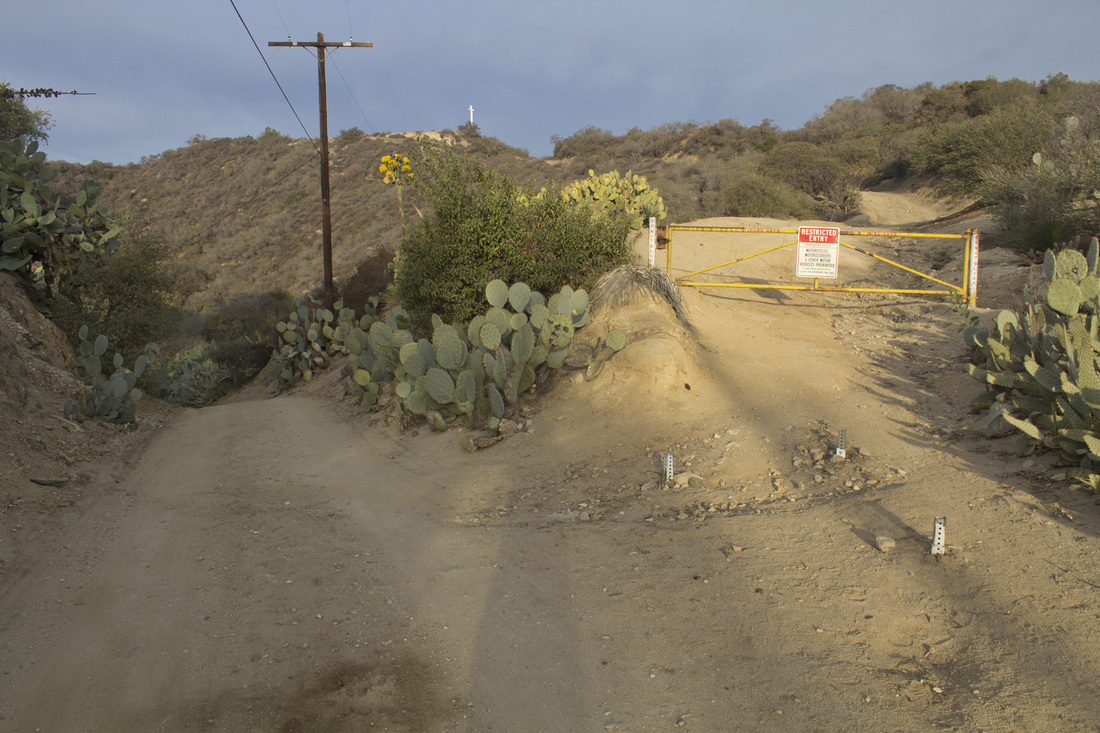
Trail Junction 1
|