THE LONESOME PINE HIKE
|
TRAIL HIGHLIGHTS |
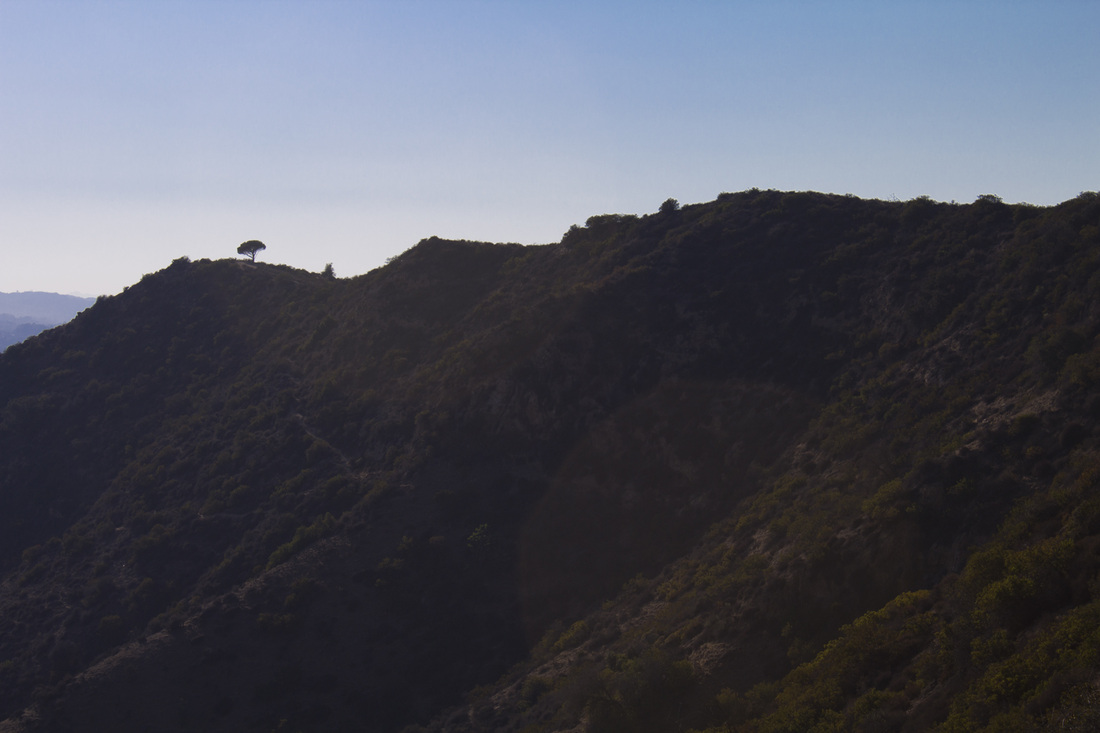
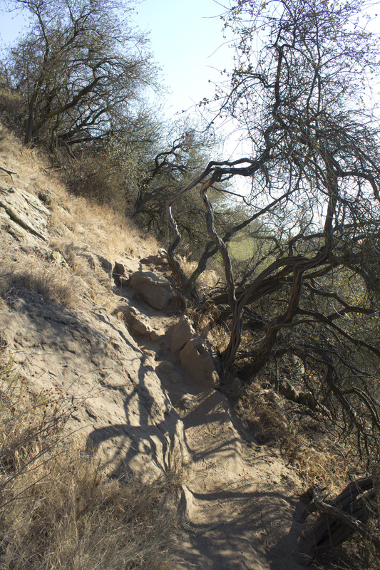
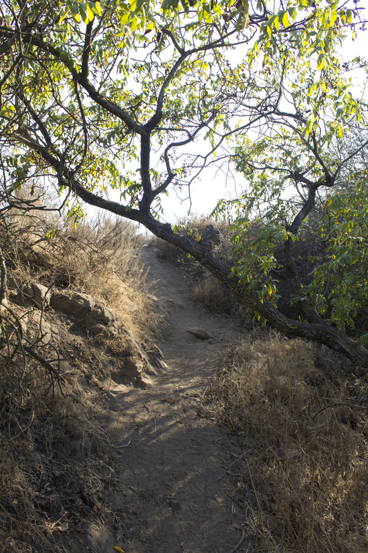
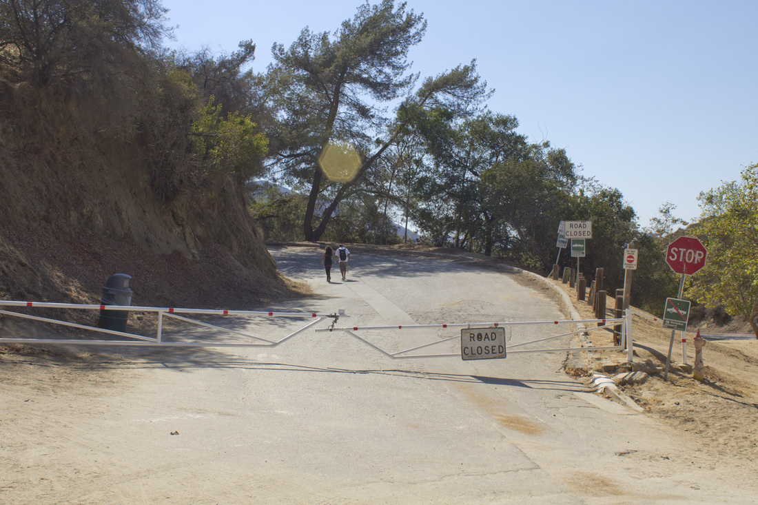
As you look at the stretch of mountains that make up Griffith Park there is a distinct landmark on the western most peak high above the Cahuenga Pass, a solitary pine watching over all Los Angeles. This pine has been an inspiration to local hikers for years, a sort of touchstone to attain that allows you to point out the tree to friends as you pass by on the 134 in your car and say, "I've been up there." The tree is known by many names: the Magic Tree, the Tree of Wisdom and, my favorite, The Lonesome Pine. For all its mystery and seeming inaccessibility, the pine is rather easy to get to from a short path off Wonder View Drive near the Hollywood Reservoir. But a magical spot like the Lonesome Pine shouldn't be quite so easy to get to, and besides, you're looking to take a hike, right? This trail will take you around Royce's Canyon and across 4 peaks (Mt. Chapel, Mt. Lee, Cahuenga and Burbank Peaks) and past the famed Hollywood sign before delivering you to the Lonesome Pine. You will walk paved road through densely forested slopes of oak and pine, scramble along a single-track through coastal chaparral and hike the ridge separating the Los Angeles Basin from the San Fernando Valley (Puma-22's territory) and scale the highest peak in Griffith Park. For those looking to take in a longer hike with a variety of terrain, but don't want to drive all the way to the San Gabriel or Santa Monica Mountains, a trip to the iconic Lonesome Pine in Griffith Park may be just the answer.
|
Click the full frame icon in the upper right corner for a larger map in a separate window.
|
Directions to TrailheadGriffith Park
Griffith Park Drive, across from the Griffith Park Composting Facility Los Angeles, CA 90027 Exit the 134 at Forest Lawn Drive and proceed .3 mile. Turn right at the light onto Zoo Drive and proceed .2 mile. Turn left at the stop sign onto Griffith Park Drive and proceed .8 mile. Turn right into the dirt parking lot across from the composting facility. Trailhead is located at the 3-way stop on Griffith Park Drive .2 mile west of the parking area. |
The Lonesome Pine Trail Guide
|
LIghtbox feature now active. Click on any trail photo for a larger version.
Trailhead
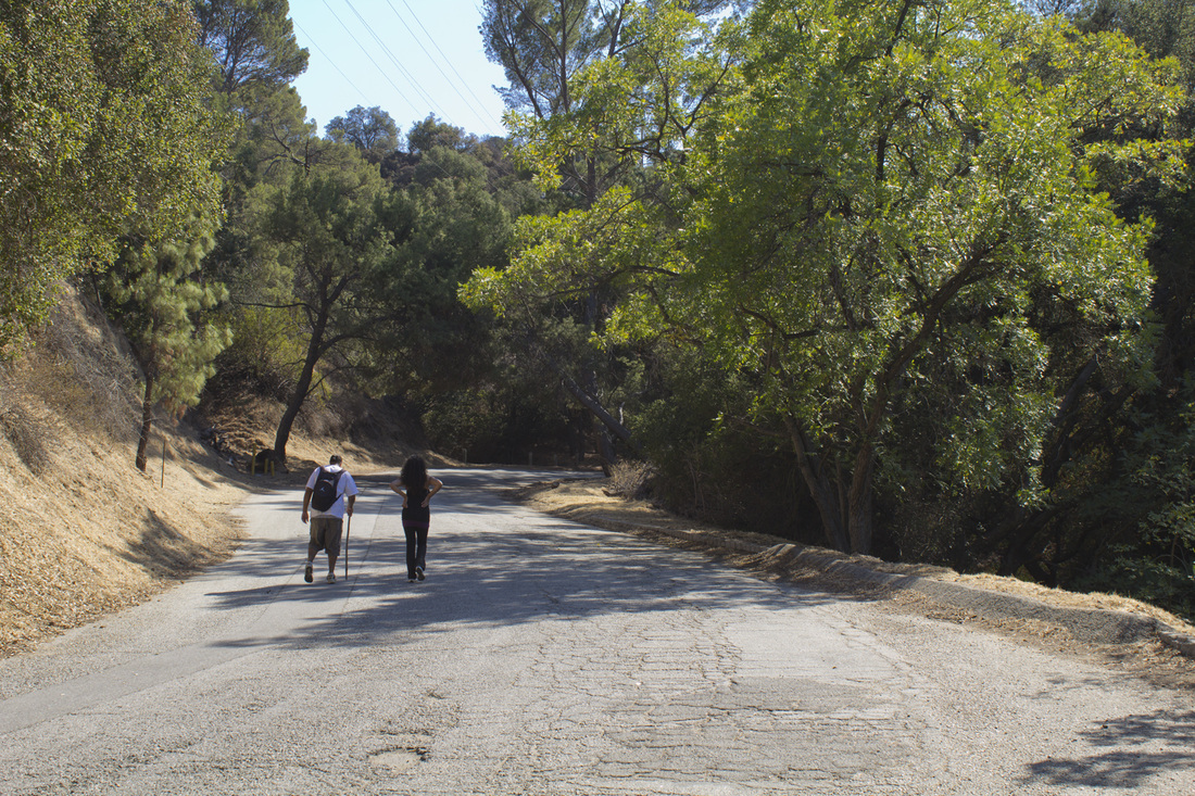
Mt. Hollywood Drive

Travel Town Water Tank

Scenic View from Mt. Hollywood Drive
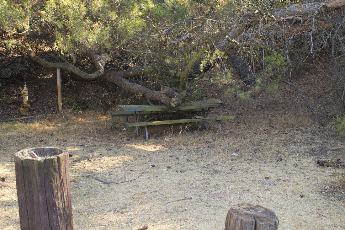
Haunted Picnic Table #29
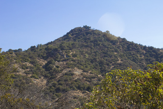
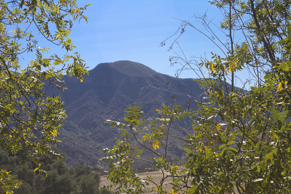
Mt. Chapel, 1614'
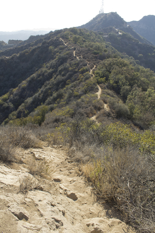
Ridge Trail
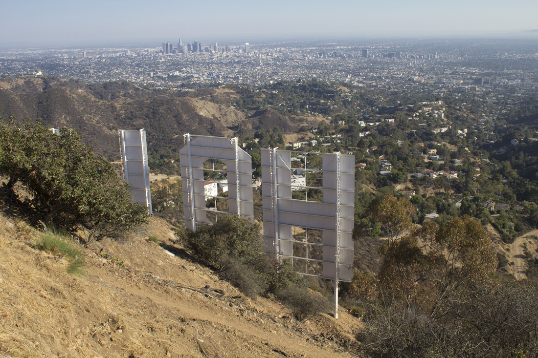
Hollywood Sign, Mt. Lee
Cahuenga Peak, 1821'
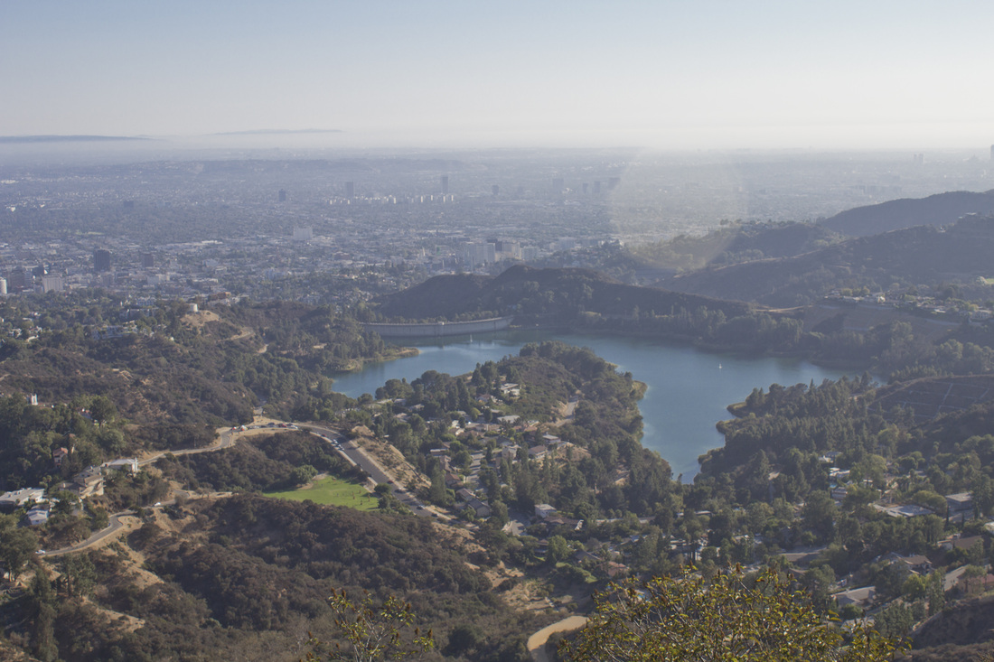
Hollywood Reservoir from Cahuenga Peak
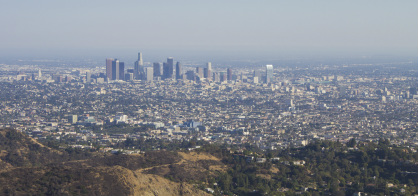
Downtown LA from Cahuenga Peak
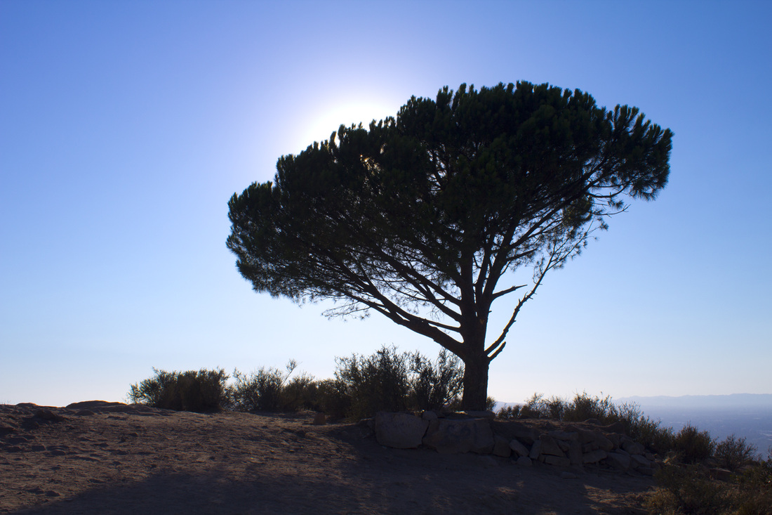
The Lonesome Pine
|