CALABASAS PEAK HIKE
|
TRAIL HIGHLIGHTS |
 Red Rock Canyon Trail
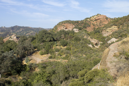
The sandstone bluffs and outcroppings of the Santa Monica Mountains were formed many millions of years ago as part of the seabed of an ancient ocean. This seabed was forced upward as the Pacific Plate rotated, creating the series of transverse mountain ridges unique to the Los Angeles area. These great geologic forces are plainly in evidence at Red Rock Canyon Park, a wildlife corridor nestled deep in the Santa Monica Mountains between Topanga Beach and the city of Calabasas. Here you will find massive sandstone formations embedded with stones and pebbles washed into the sea by long-lost rivers many millennia ago. This conglomerate rock has since been weathered by wind and water, producing numerous pocket caves. The canyon also boasts numerous fossils of ancient sea life dating back nearly 20 million years. Much of this is hidden by the dense growth of toyon and sumac on the canyon walls, but a little off-trail investigation will reveal the wonders of history in this geologic playground.
 Red Rock Canyon Park
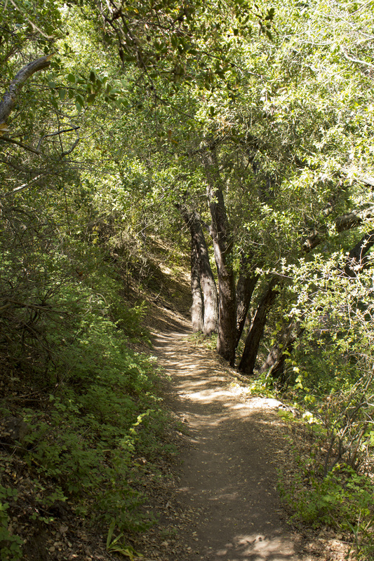
The trail begins low in the canyon on a wide dirt fire road. The first .5 mile of the trail meanders easily through clusters of oak and sycamore trees in riparian environment. There are several picnic areas, and the area, despite its seclusion, is popular with hikers, joggers and mountain bikers. At approximately .4 mile from the trailhead is the trail junction for the Red Rock Trail, a single-track use path that climbs out of the canyon below Calabasas Peak. Staying on the fire road, the trail begins a moderate climb to the Calabasas Peak Motorway, approximately 1.1 miles from the trailhead. As you begin the climb out of the canyon the riparian environment gives way to the more common chaparral that covers the slopes of the Santa Monica Mountains. Turning right at the junction with the Calabasas Peak Motorway, long range vistas of the Santa Monica Mountains come into view. The climb also become progressively steeper and more strenuous. For the next .5 mile, you will pass through a series of long sandstone ribs rising up from the gorges below to the mountain crests above. Climbing up on these giant ribs provide some great views and some very dangerous drop offs. Caution is advised if you venture out onto these rocky viewpoints. From the sandstone ribs the climb toward the summit of Calabasas Peak becomes quite steep, but there is only about a half mile of serious trudging before the trail levels out at the Red Rock Canyon Overlook with its stunning easterly views. From here it is an easy .25 miles to the summit and its 360° panoramic views encompassing the San Fernando Valley, portions of the Los Angeles Basin, a sliver of the Pacific Ocean (clear days) and the interior of the Santa Monica Mountains.
|
Click the full frame icon in the upper right corner for a larger map in a separate window.
|
Directions to Trailhead
|
Red Rock Canyon Park
23601 West Red Rock Road Topanga, CA 90290 From the South
If approaching from the PCH, turn north onto Topanga Canyon Road and proceed for approximagtely 4.3 miles and turn left onto Old Topanga Canyon Road. Continue on Old Topanga for 1.9 miles Red Rock Road and turn left. There are two parking areas about 0.8 miles in on Red Rock Road. The street sign for Red Rock Road may be bent and hard to read. Red Rock Road is a paved, but narrow and twisting street through a residential neighborhood. Remember to be considerate. Keep your speed down do not park along the street in order to save on the parking fee at the park. You will be towed. At 0.6 miles the pavement ends at a dirt fire road and becomes W Red Rock Road. This portion can be extremely rutted and uneven, but nothing a passenger car can’t handle if you proceed slowly. The parking area is just 0.2 miles ahead. There is a $5 parking fee, made payable on the honor system at the iron rangers located at the park entrance and in the parking area near the trailhead. |
Red Rock Canyon to Calabasas Peak Trail Guide
Parking
Pull into the dirt turnout about 1 mile past the Circle X Ranch. The turnout is located on the left side of Yerba Buena and leads to a large parking area above the road. A pit toilet is available at the far end of the parking area, but no water. A water fountain is located back at the Circle X Ranch. 
Trailhead
The trailhead is located at the white gate that blocks W Red Rock Road. There is an information sign and an iron ranger (parking fee) located next to the trailhead. 
Pit Toilets
Pit toilets are located near the trailhead. 
Picnic Area
Picnic Area with water fountain on opposite side of trail. (.17 mile) 
Water Fountain
A water fountain is located on the trail opposite the picnic area. 
Reclining Man Caves
At just under .25 mile, look for a set of wooden steps on the left side of the trail that will bring you up to a small plateau just above the fire road. Here you will find the Reclining Man Caves, a series of water carved pockets that give the rock face the appearance of a man laying his head on the ground. (.22 mile) 
Trail Junction 1: Red Rock Trail
At about .4 of a mile from the trailhead, you will pass the junction with Red Rock Trail, a single track use-path that crosses over the canyon walls and connects with Zuniga Road. To reach Calabasas Peak, continue on the fire road. (.35 mile) 
Trail Junction 2: Calabasas Motorway
At 1.1 miles W Red Rock Road dead ends at Calabasas Peak Motorway. Turn right at the intersection and head uphill. For the next .3 mile, the incline on the trail will become moderately steeper until you reach the Sandstone Ribs. Then it gets really steep! 
Sandstone Ribs
At about 1.4 miles you will reach a series of long exposed sandstone ribs running from low in the canyon to the crest of the mountains. There are some excellent photo opportunities here and some great boulders to scramble around on. Caution is urged, however, as it is a long way down. The trail is also about to become very steep. 
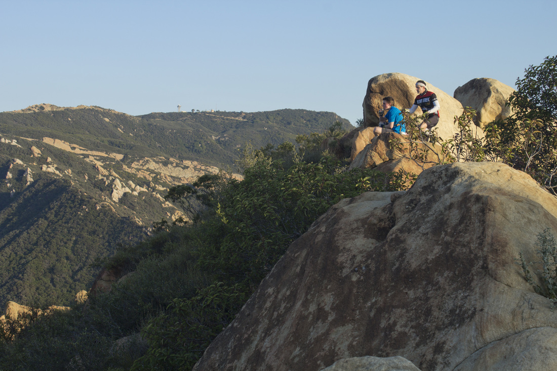
Red Rock Canyon Overlook
At about 2 miles you will reach a rocky outcropping of sandstone that offers some great views with a sense of being on top of the world as you sit atop the massive boulders. The eastward views from here are actually better than the views from the peak located just a short distance away. 
Trail Junction 3: Summit Trail
Just past the Red Rock Canyon Overlook, veer left off the fire road and onto a rising rib of sandstone. It doesn't look like much of a trail at this point and is easy to miss, but once you climb a short distance the sandstone gives way to a single-track dirt use-path leading toward the summit of Calabasas Peak. (2.1 miles) 
Trail Junction 4: Summit T-Intersection
A second use-path rises up from your right. Where the two paths meet, turn left and continue a few feet uphill to the summit. (2.2 miles) 
Calabasas Peak, 2,163'
Congratulations! You've made it to the summit of Calabasas Peak. From here you can see parts of the Simi Valley, San Fernando Valley, the Los Angeles Basin and a sliver of the Pacific Ocean on really clear days. (2.25 miles) 
Alternate Summit Access Trail
If you find yourself at the intersection with the large concrete slab, you've missed the first trail junction to the summit. Fear not. Look to your left for a single-track path climbing steeply up the embankment. Continue straight on this trail to reach the summit. 
Concrete Slab
A 3,100' outcropping of sandstone makes for some great bouldering and excellent western views. |
LIghtbox feature now active. Click on any trail photo for a larger version.

Trailhead

Reclining Man Caves

Conglomerate Rock

Trail Junction 1: Red Rock Trail

Trail Junction 2: Calabasas Motorway

Sandstone Ribs Below Calabasas Peak
Red Rock Canyon Overlook
|
Slide Show - Additional Pictures of Calabasas Peak Hike |
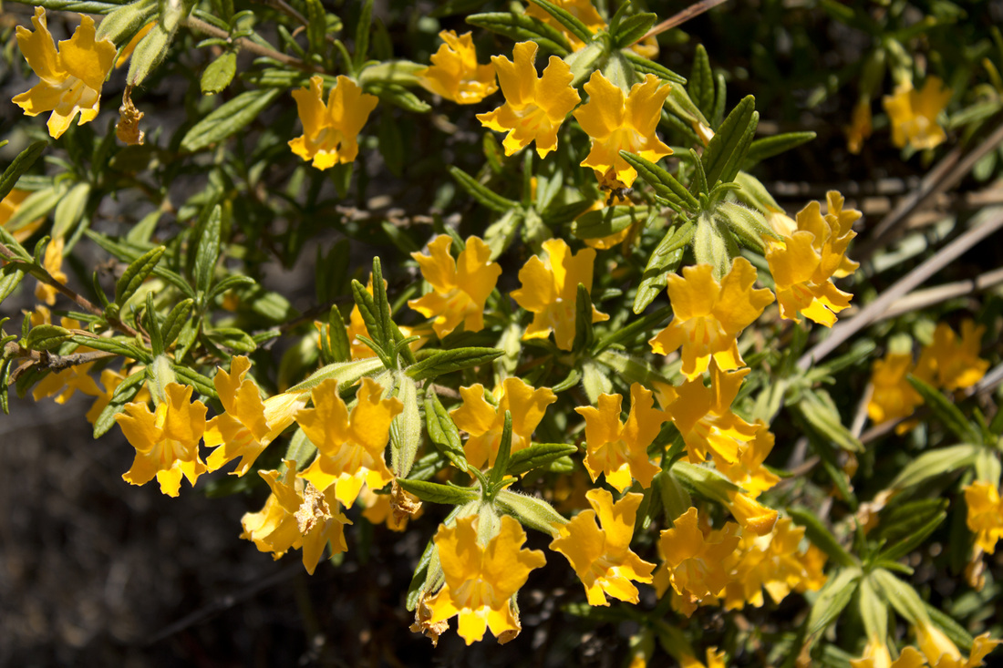
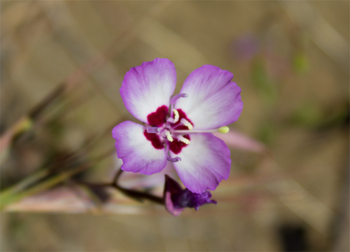
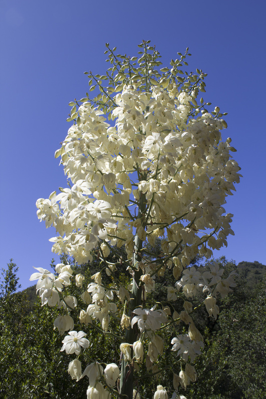
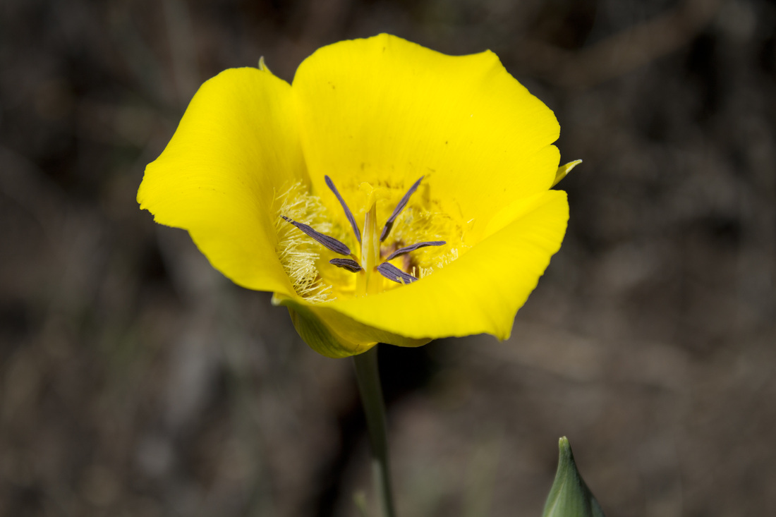
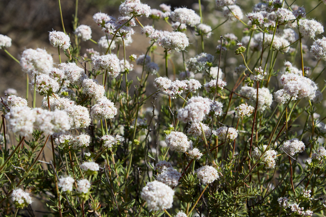
Flora of Red Rock Canyon
|